CK5
Register an account today to become a member! Once signed in, you'll be able to participate on this site by adding your own topics and posts, as well as connect with other members.

Rob and Bill’s excellent winter desert adventure.

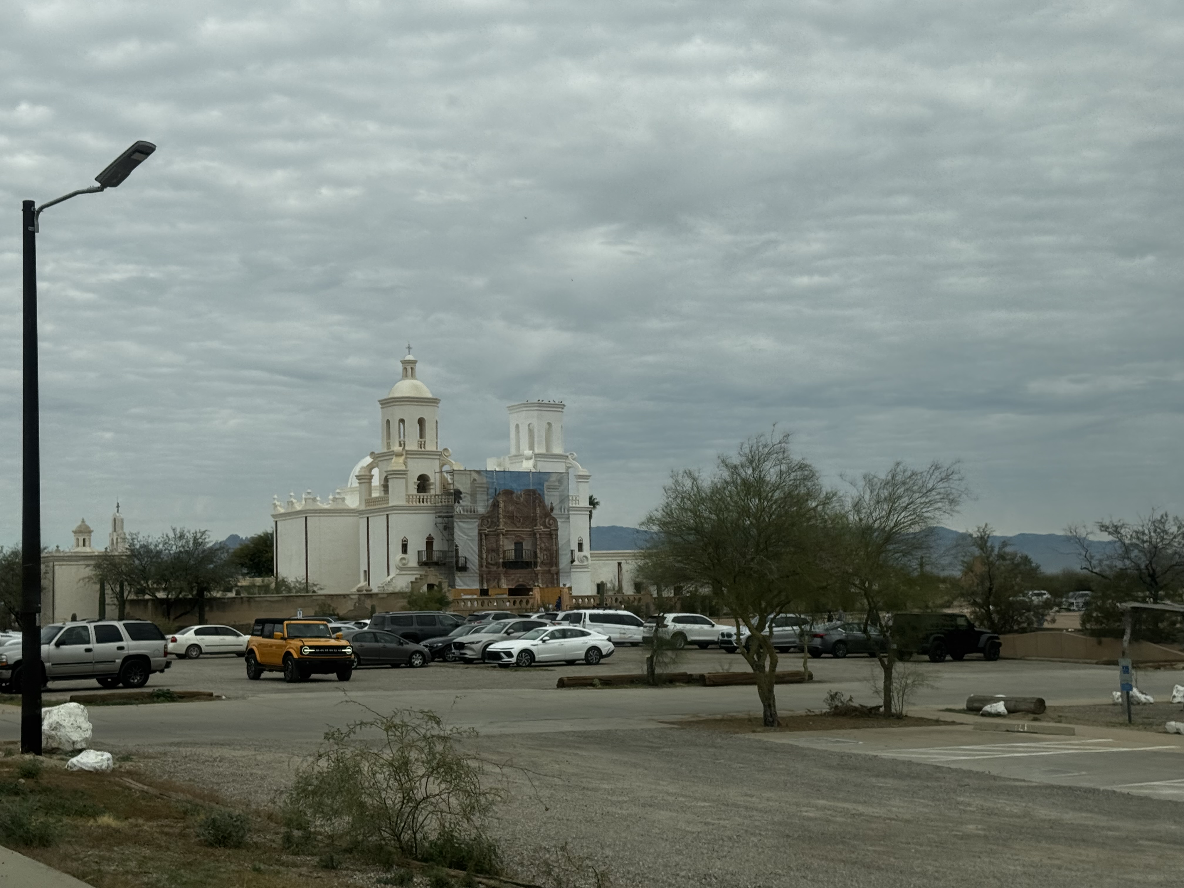
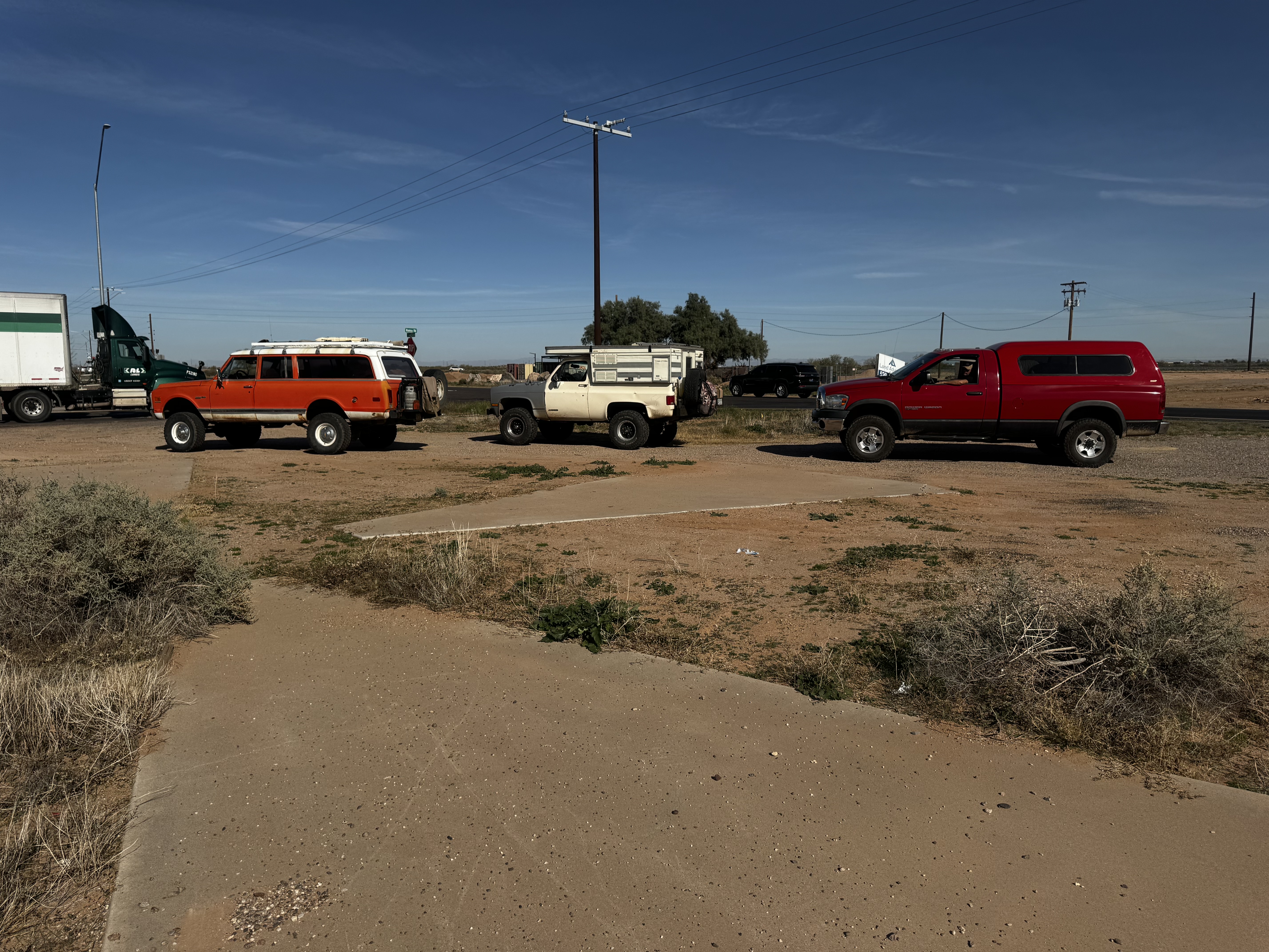
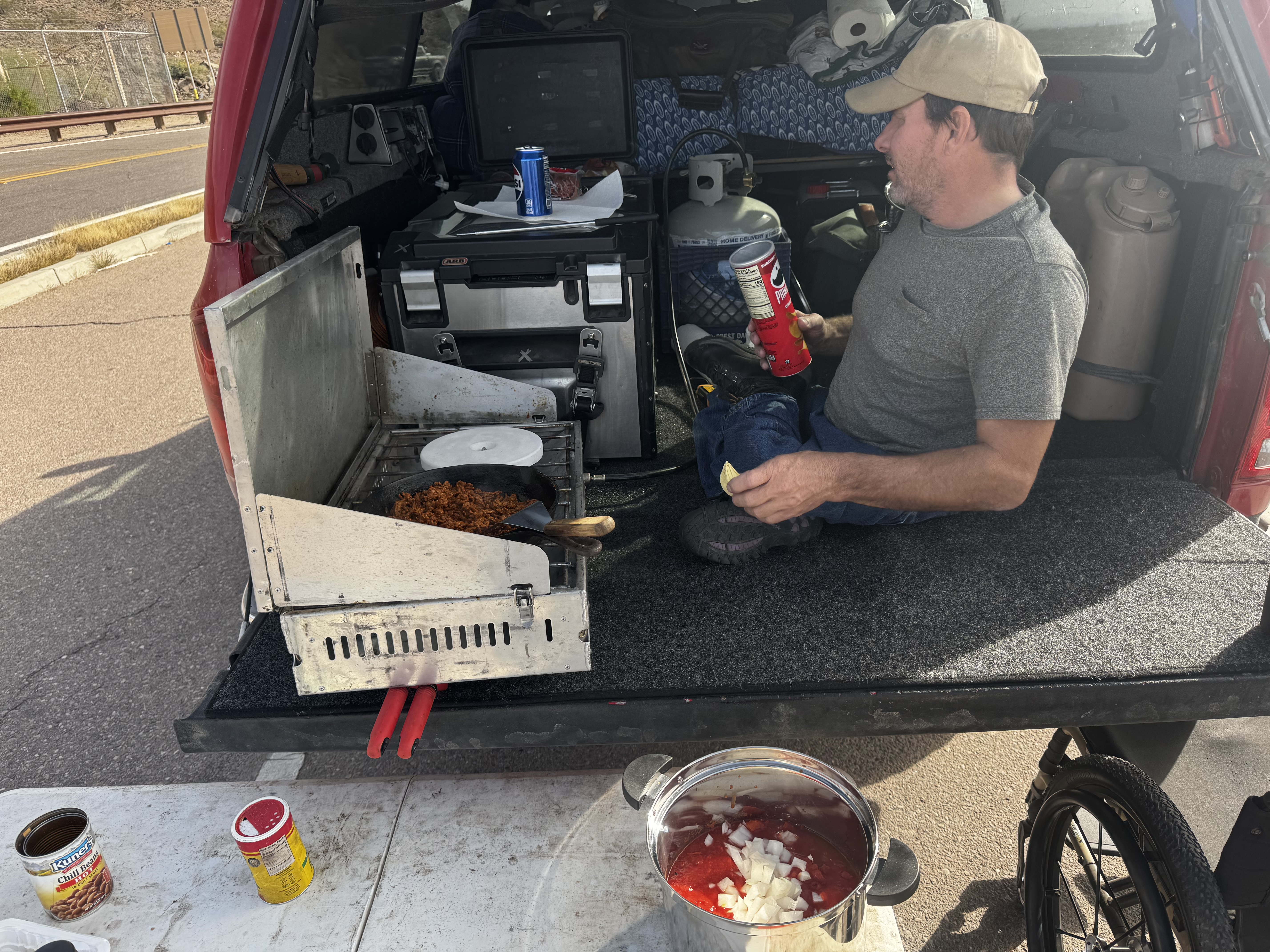
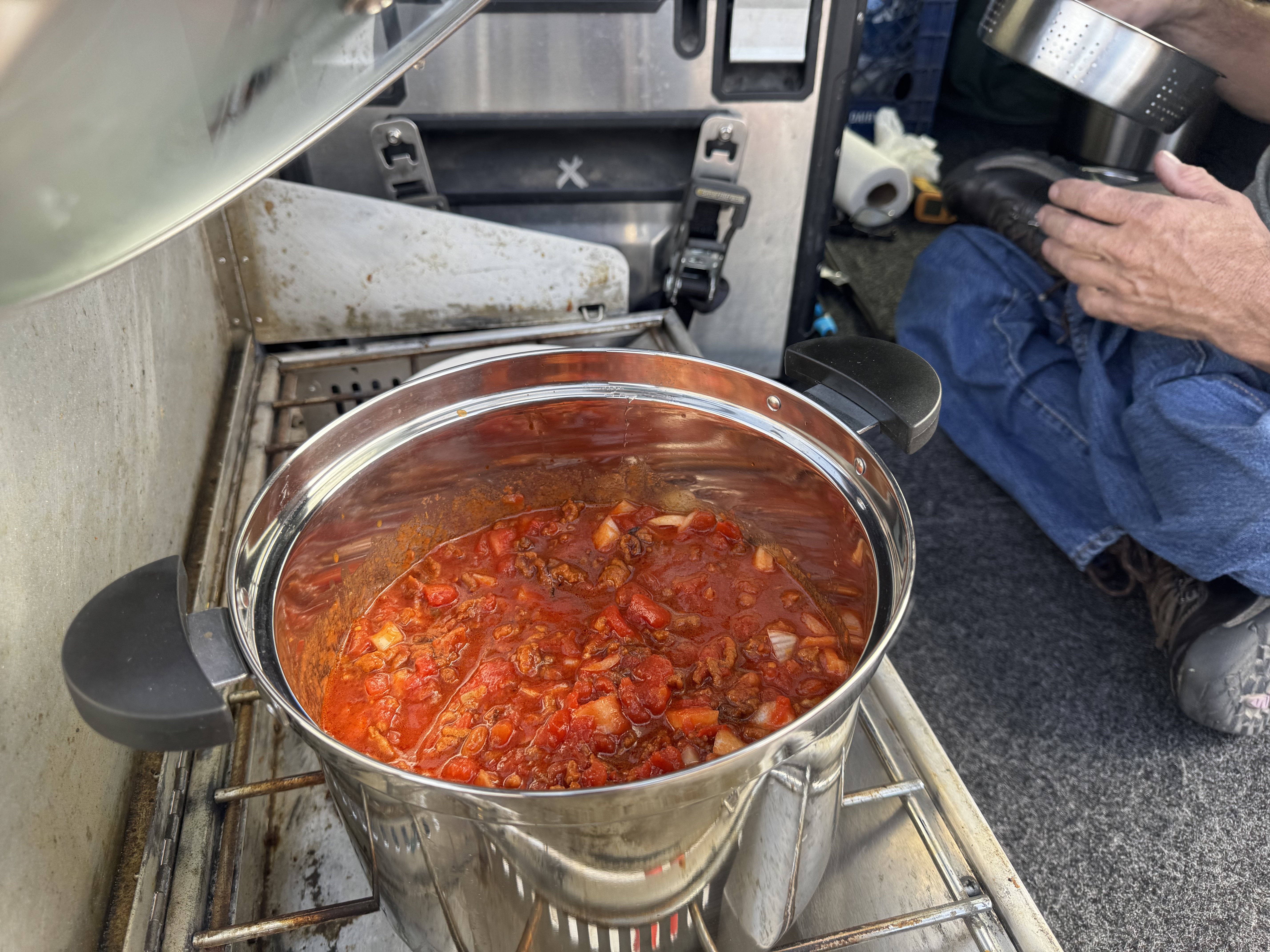
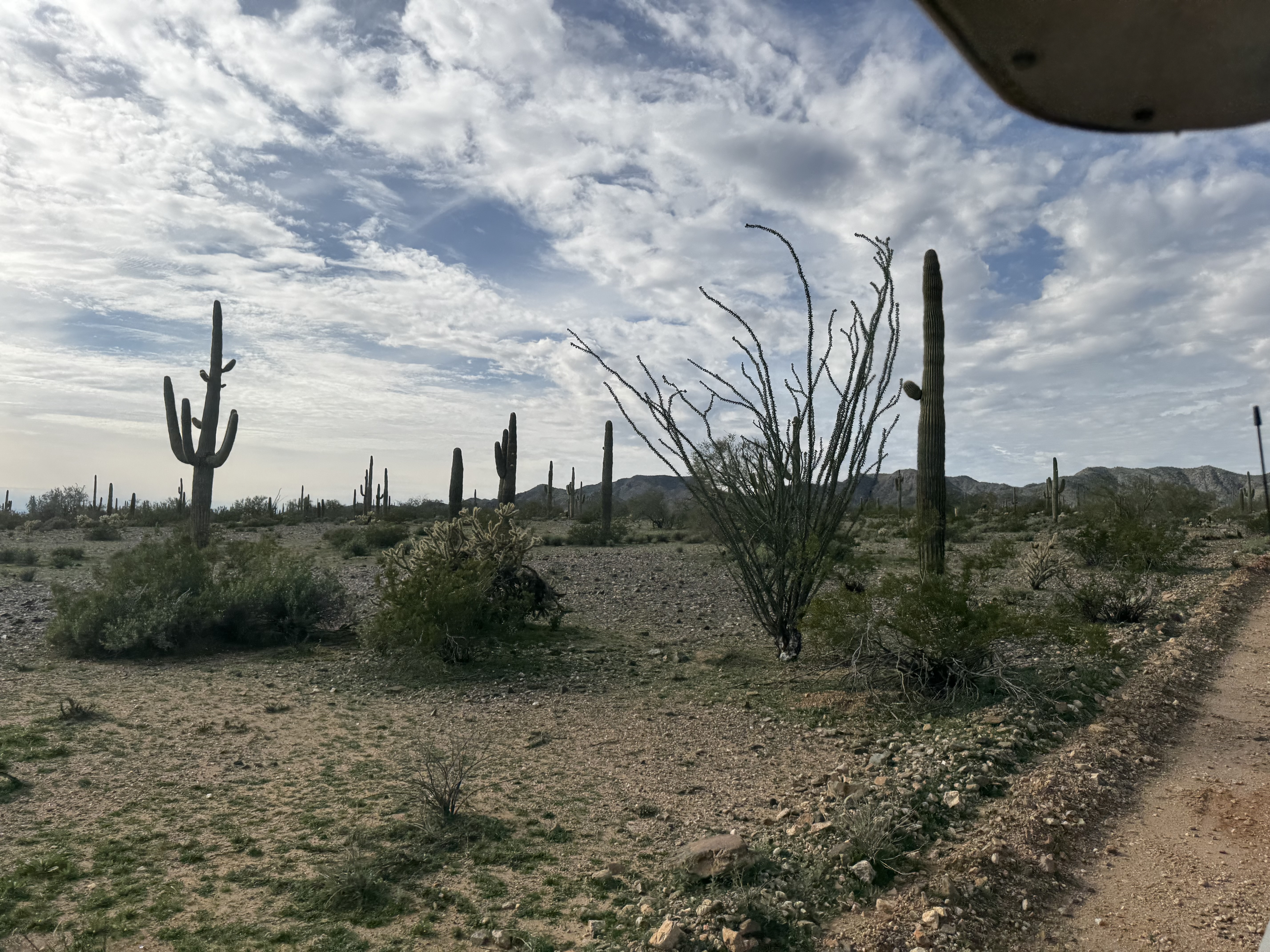
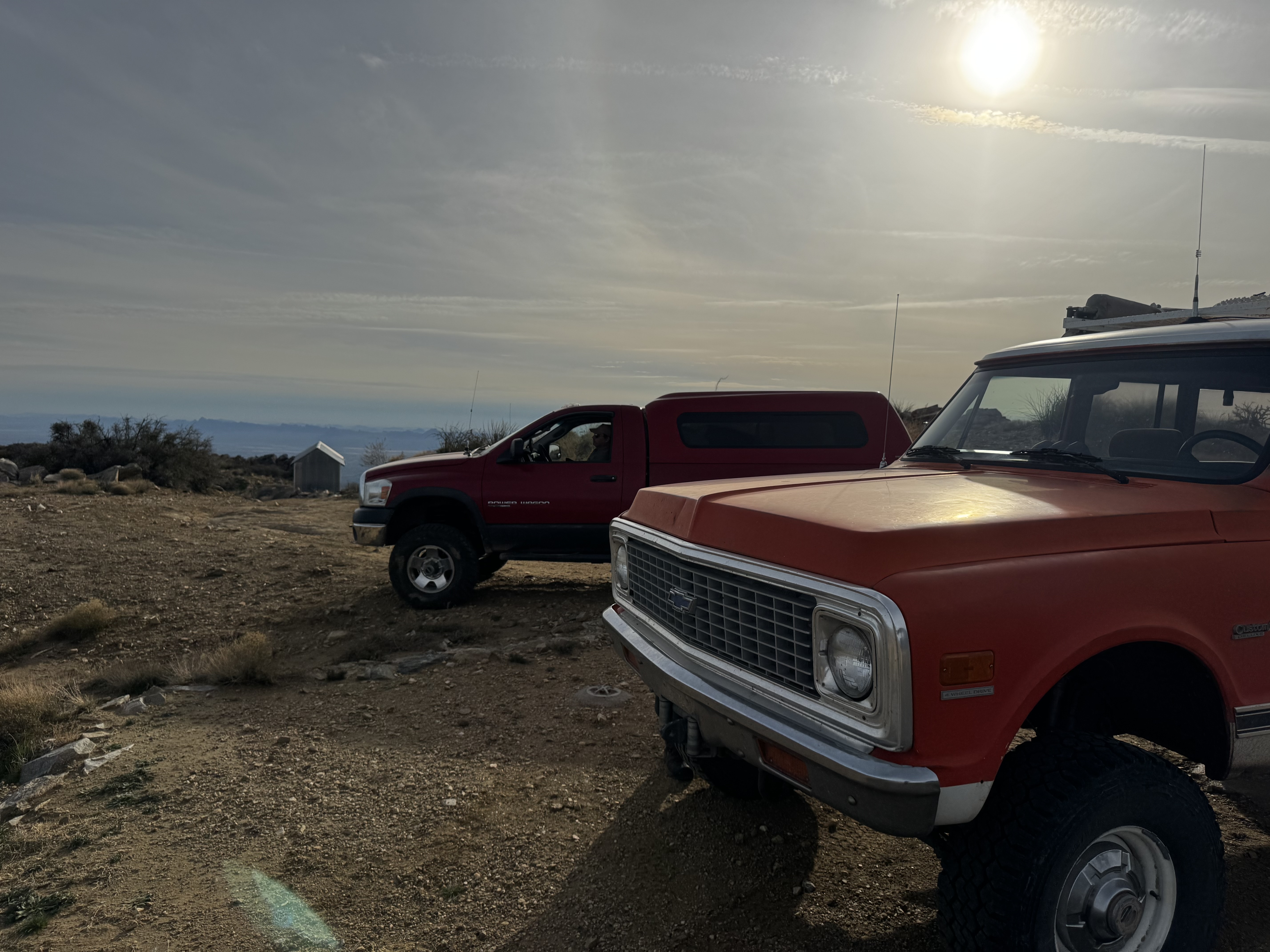
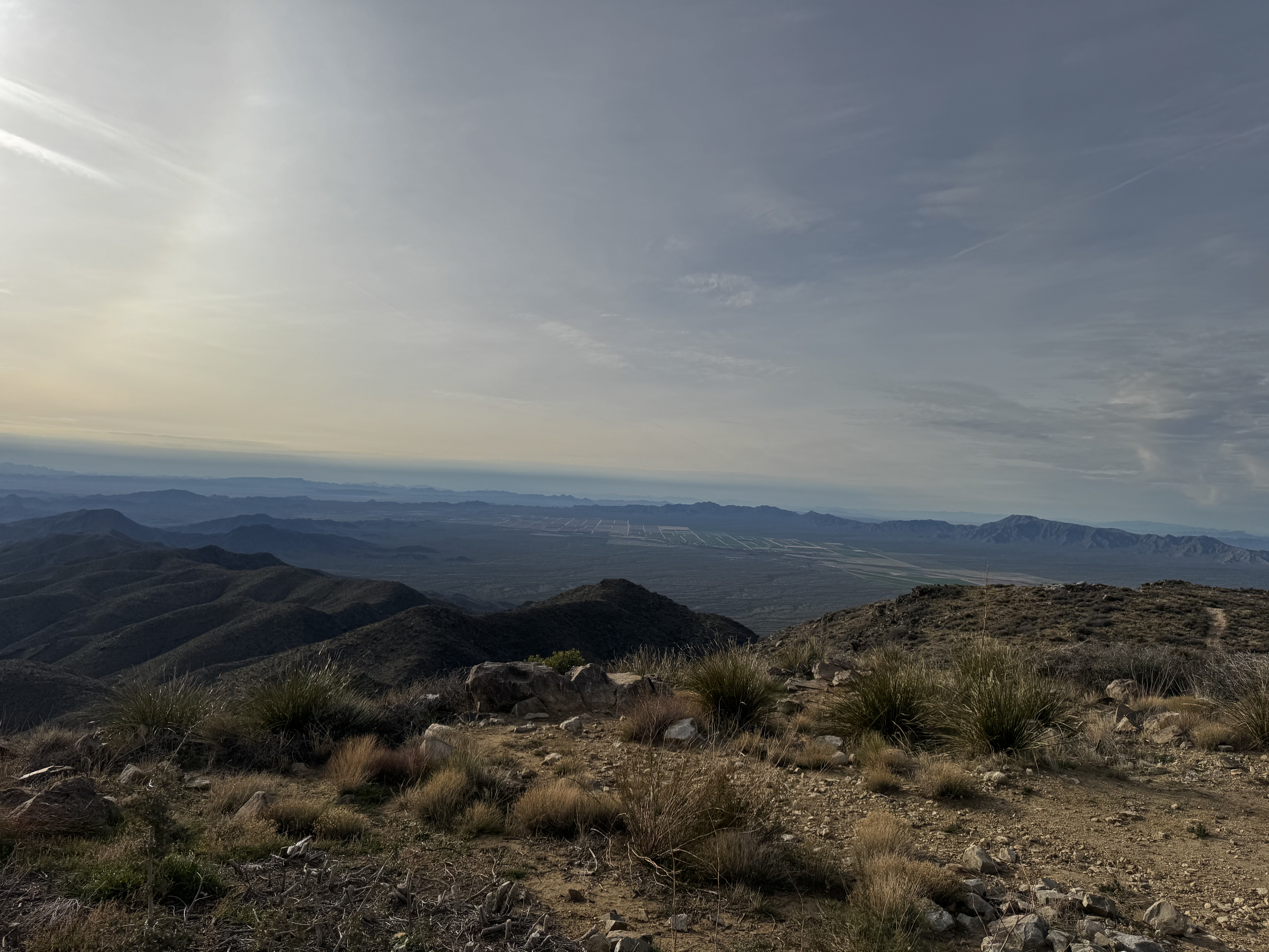
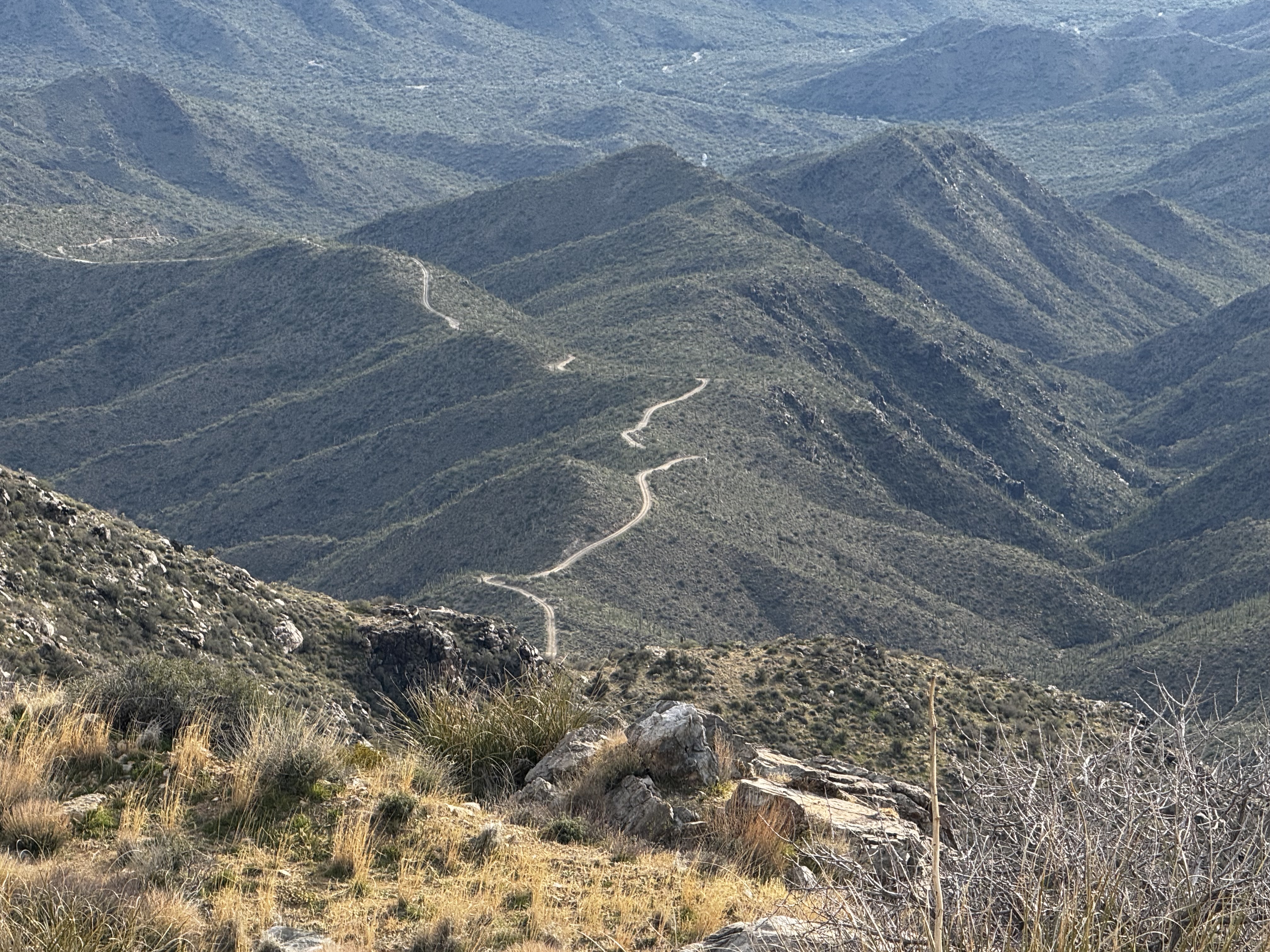
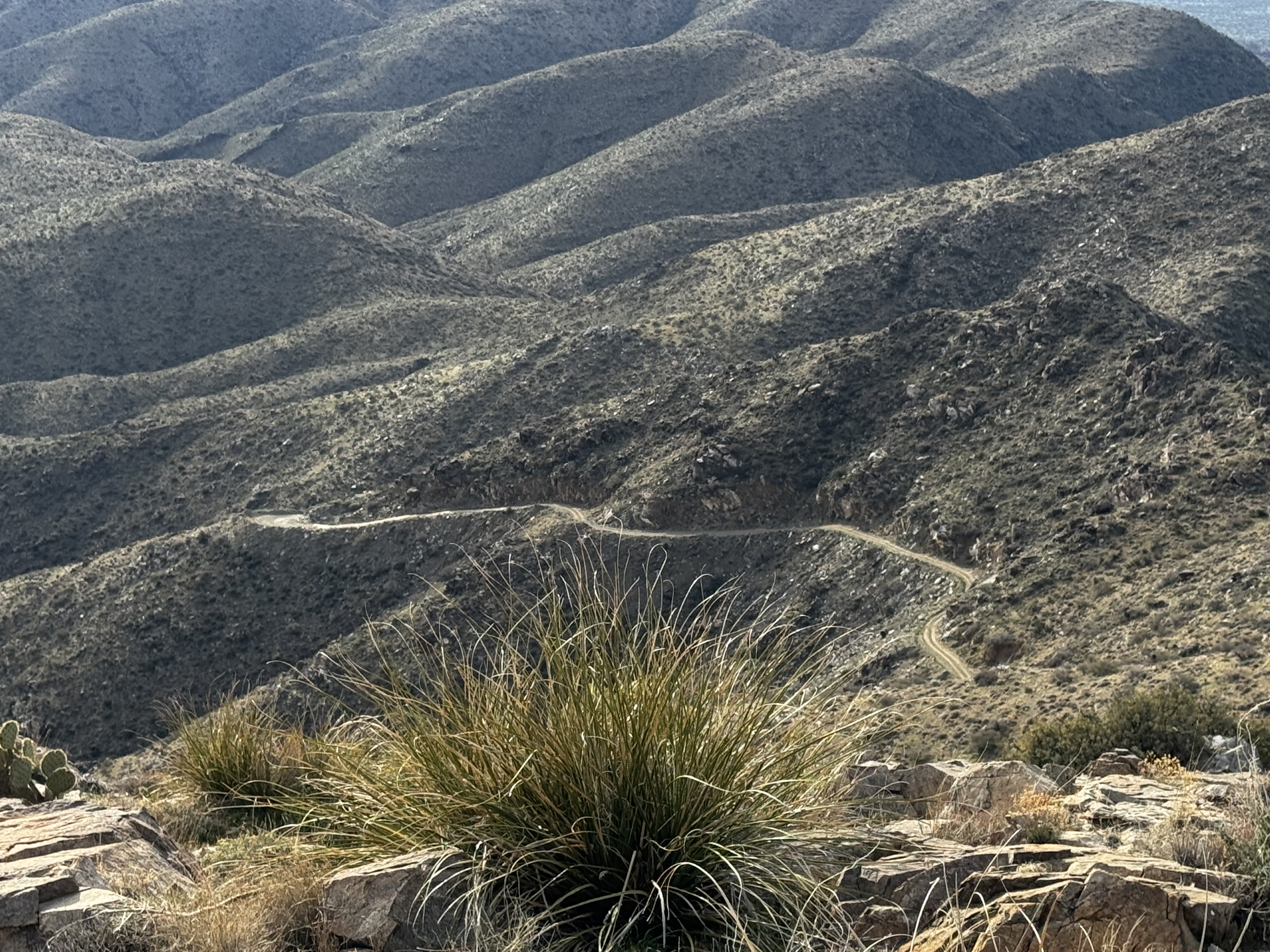
Basic update due to minimal cell coverage. We broke camp this morning and came back to a “y” in the road we passed yesterday. That will take us through box canyon and drop us back on I-19 directly below Tucson. We joined the I-10 mob and pulled off to check out one of the old crosses set into the ground would use to calibrate itself. We get back on the road after eating lunch there.

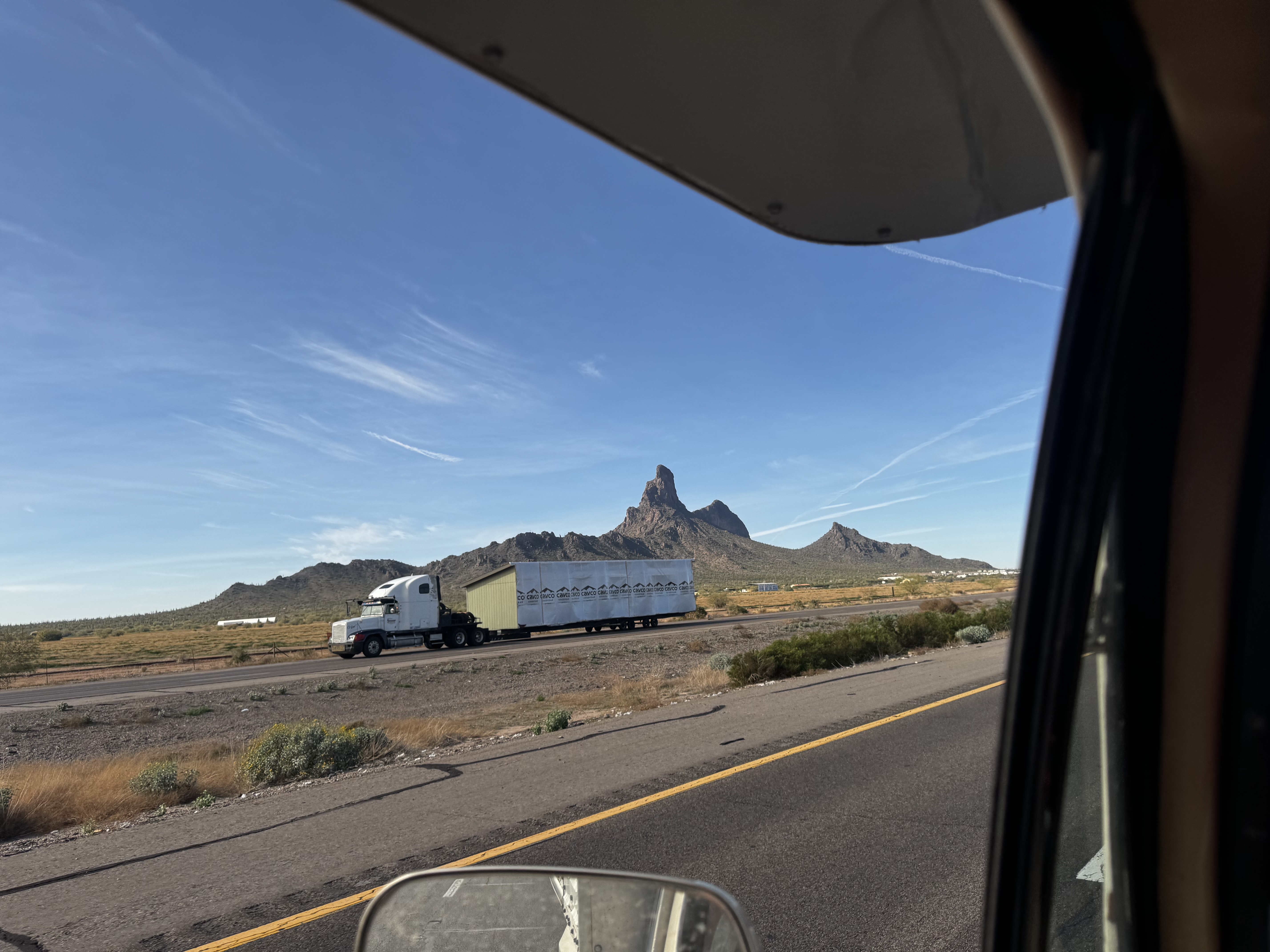
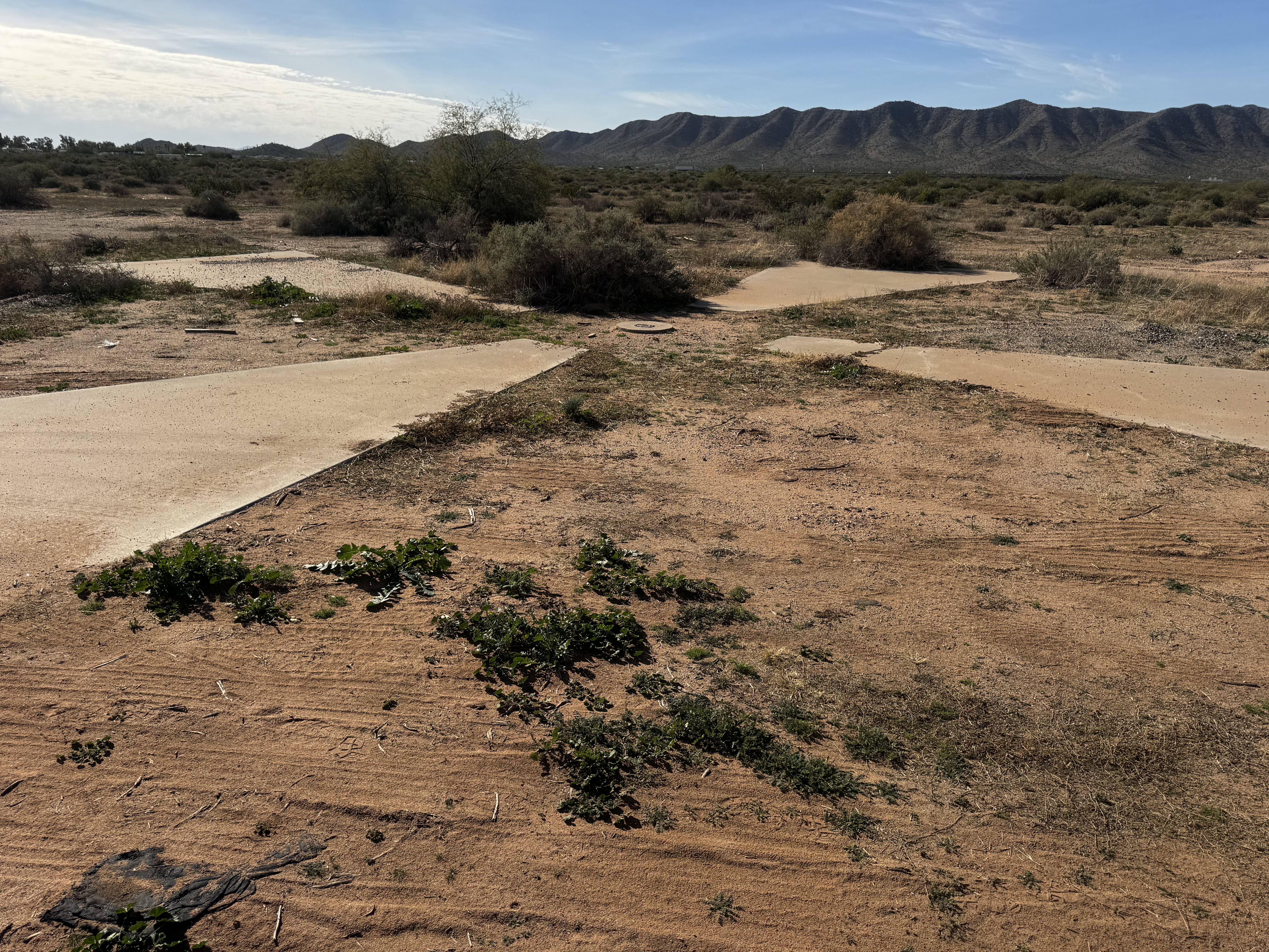
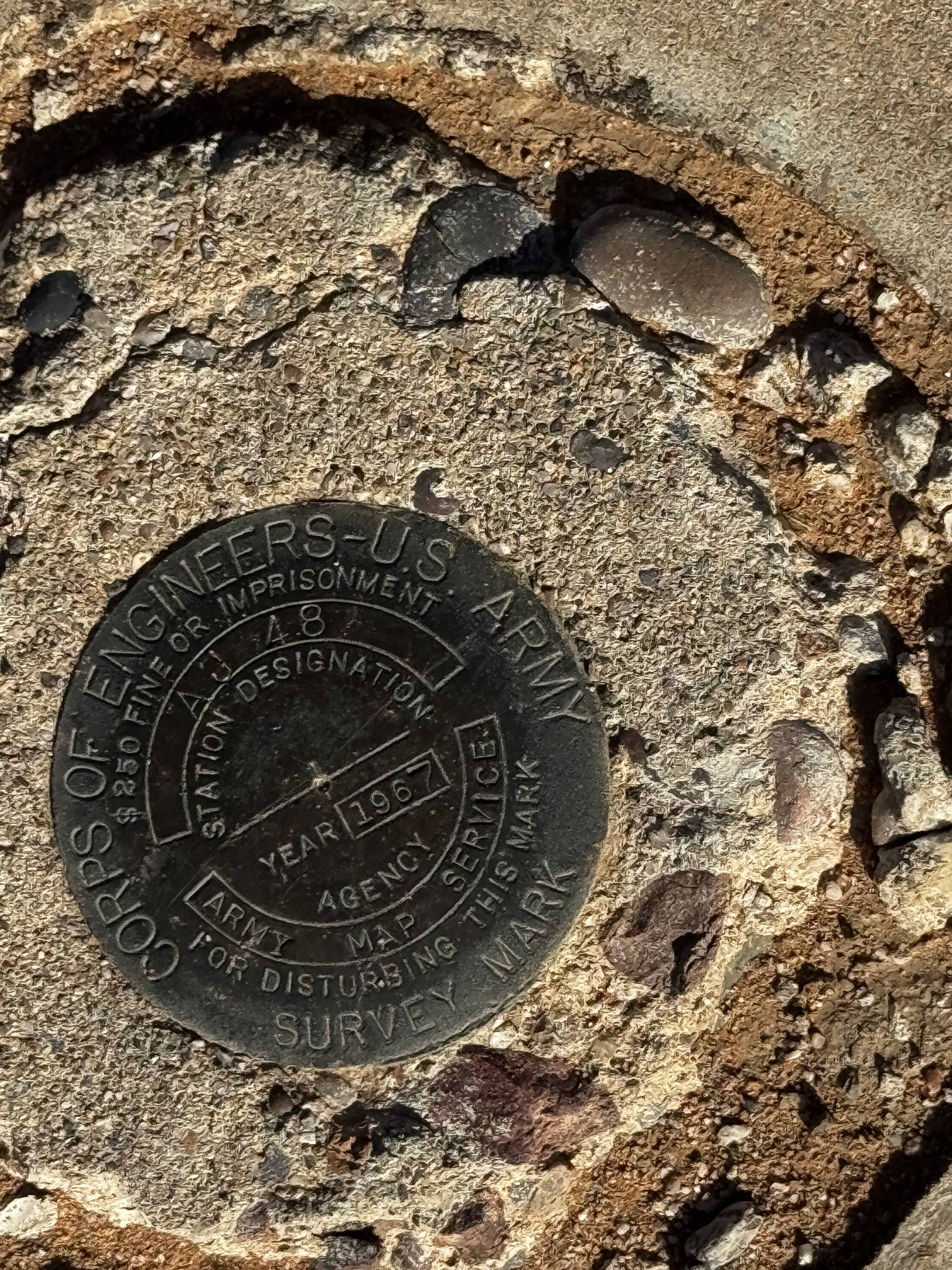
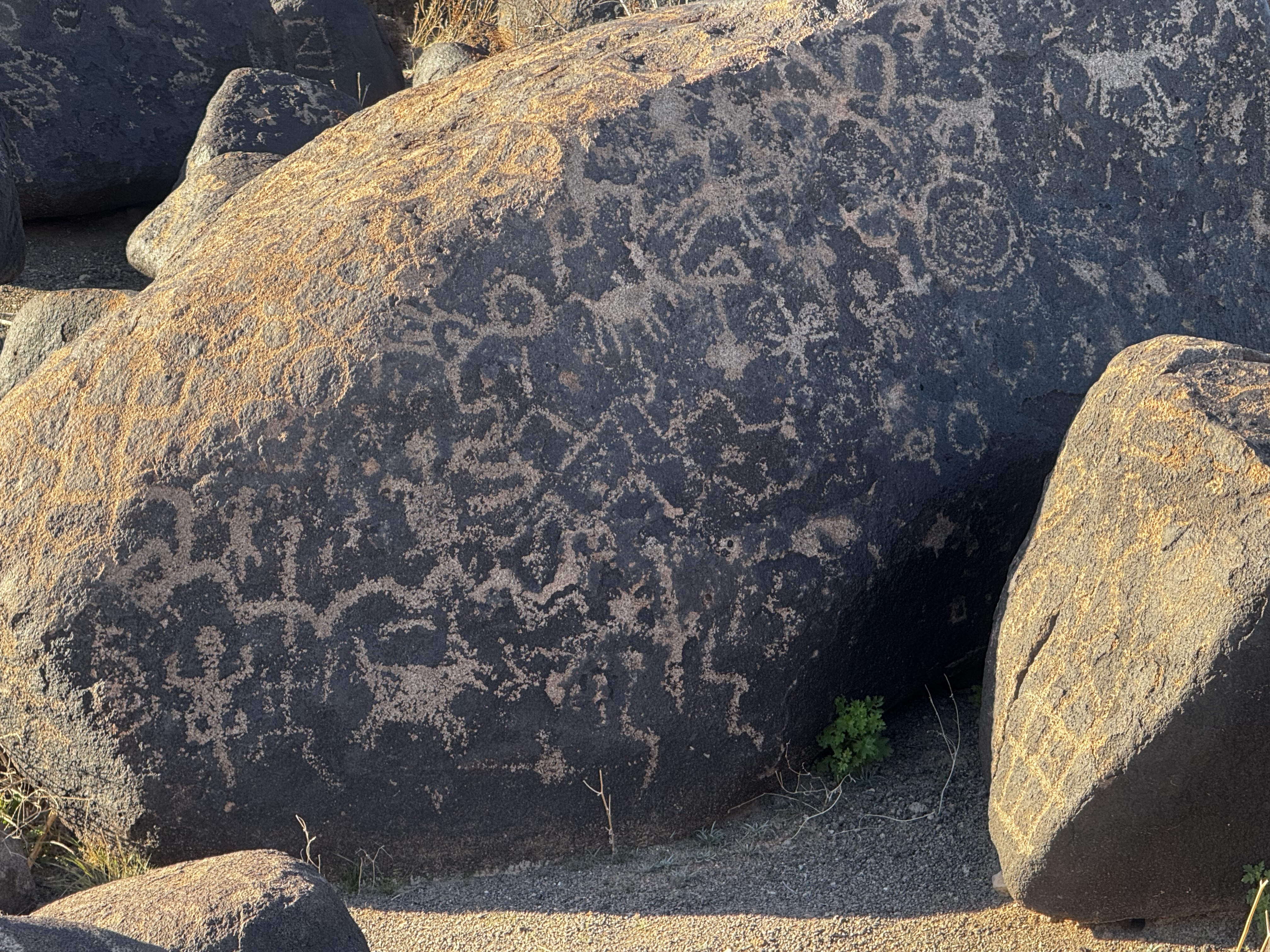
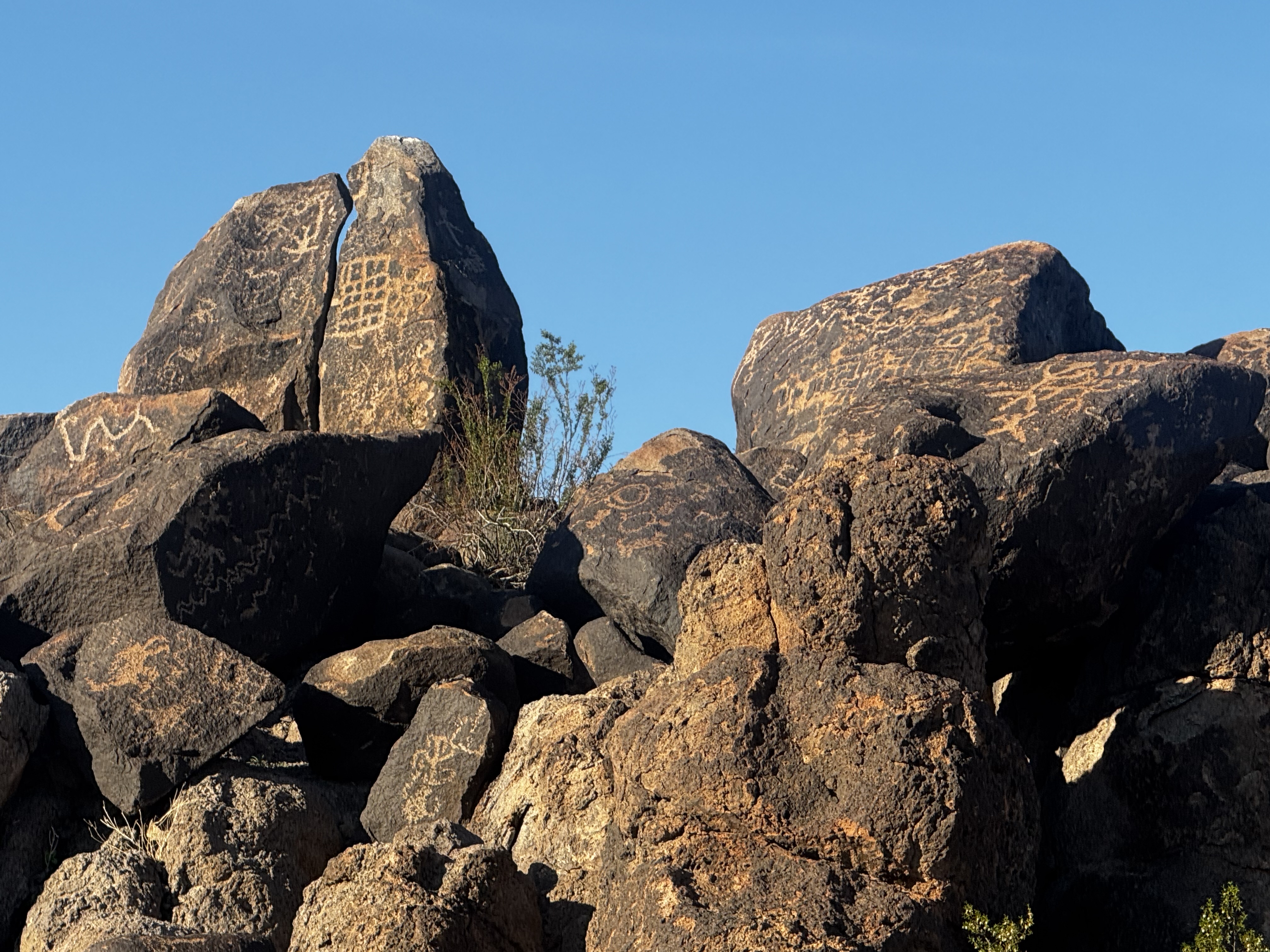
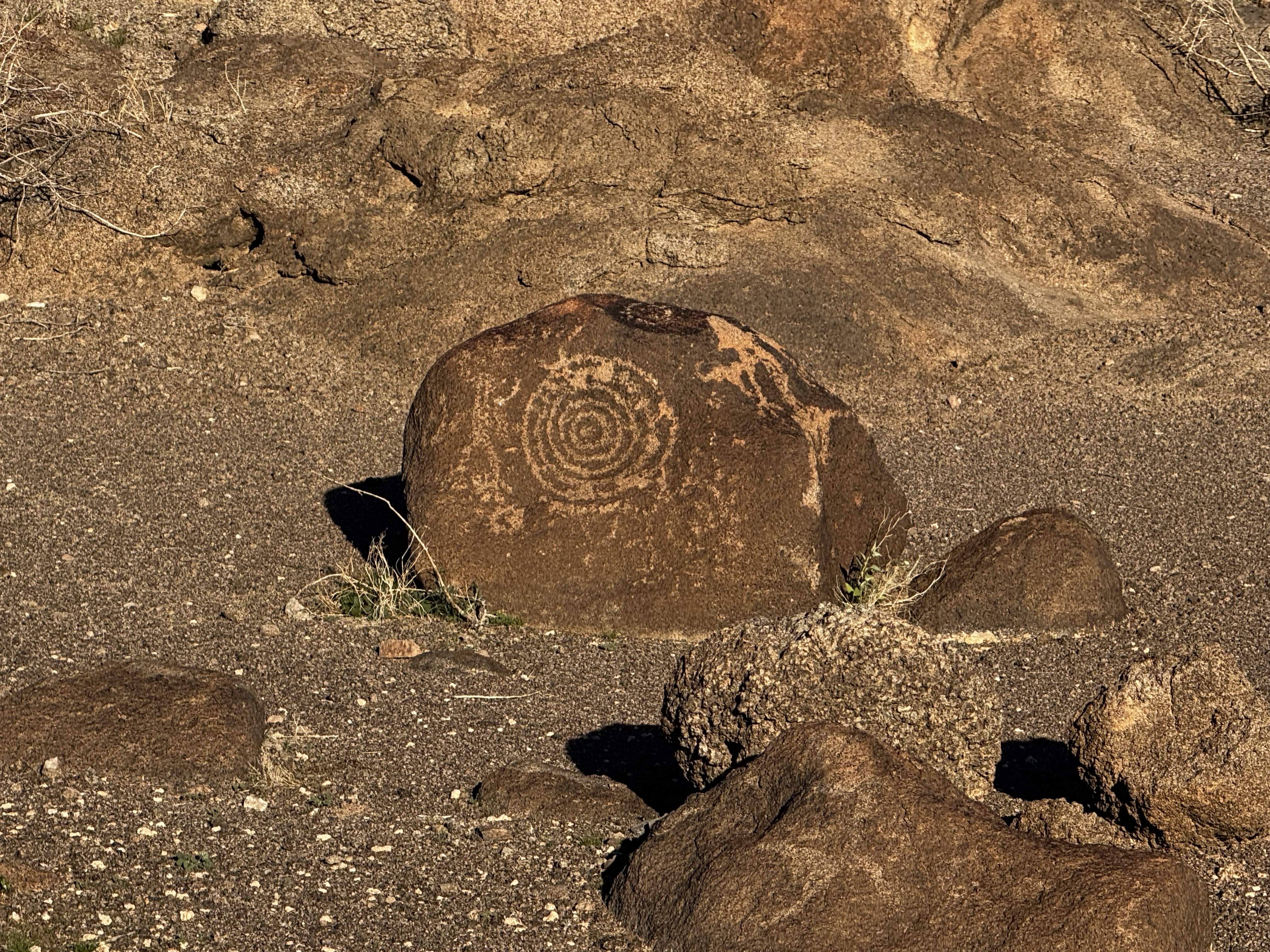
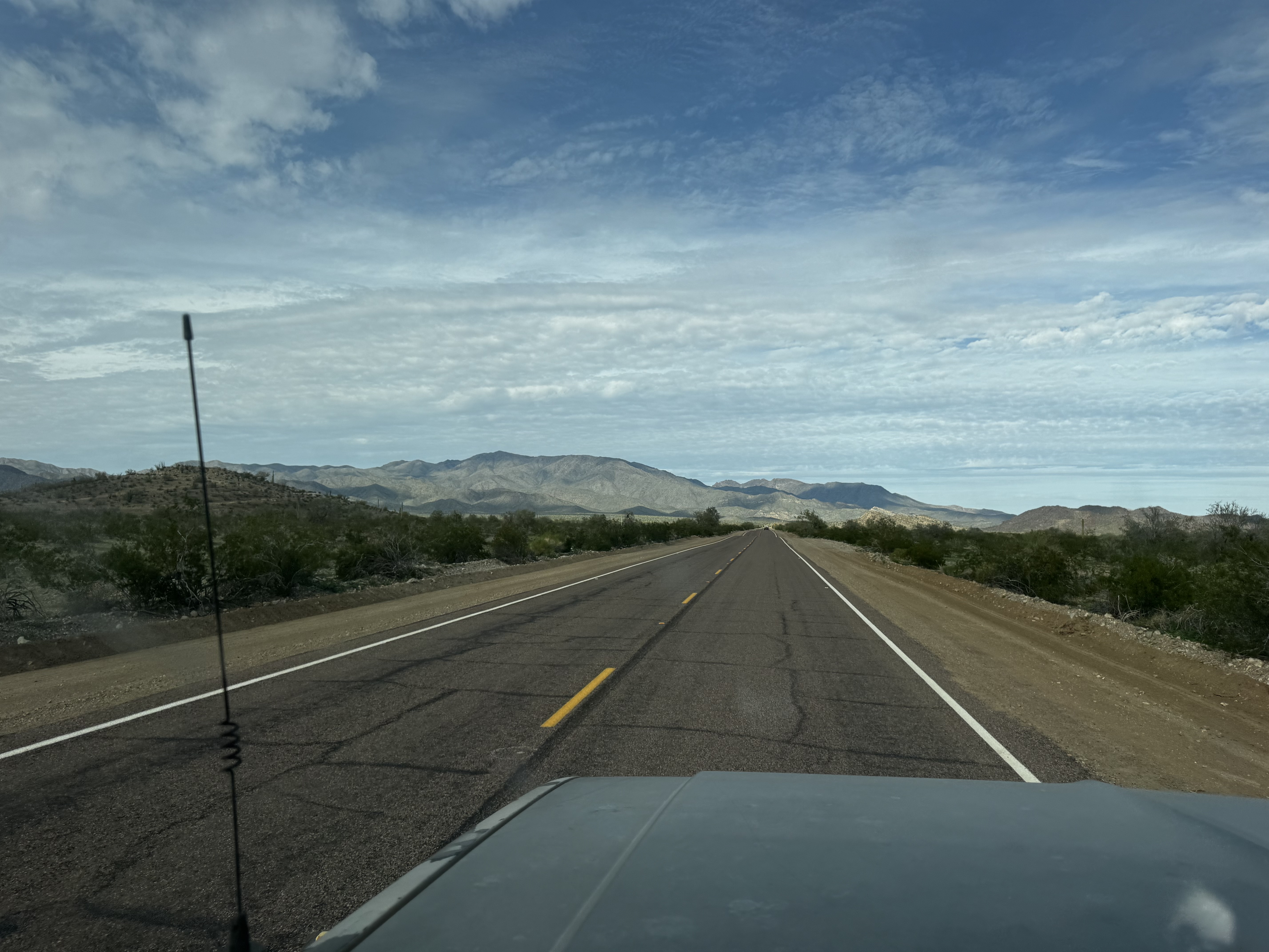
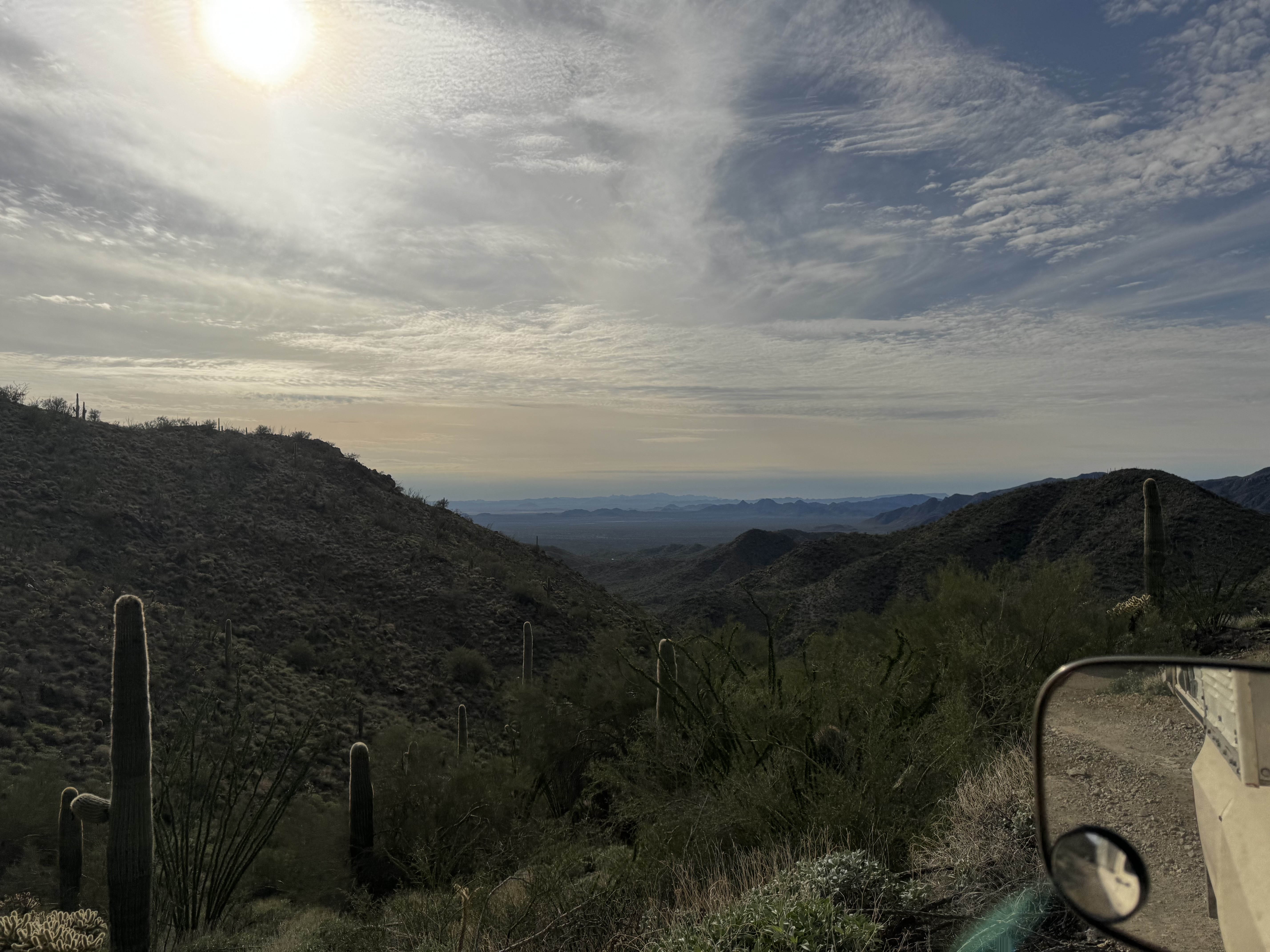
We catch I-8 to stay tracking mostly west. A last stop for fuel for absolute miles. Bill and I get fleeced for crappy California-esq fuel with 15% ethanol rather the normal crappy 10% ethanol garbage we get back home. Back on interstate we go as far as the signs tell us for the painted rocks archeological site. Nick guides the way and we stop at the painted rocks site. The site is really cool and rich with history. Native tribes used the rocks in this specific pile of rocks as a canvas of sorts for their petroglyphs. Outside of newspaper rock on your way into the Needles district of Canyonlands national park, you won’t find anyplace with more petroglyphs than painted rocks. Which the remoteness of the location is baffling. There is nothing out there. It’s very arid desert and unless you dug a well, there is zero water to be had there. Worth the detour from I-8 if you needed one. It’s only 12 miles from the highway, but it feels more like one hundred miles by the time you get there.

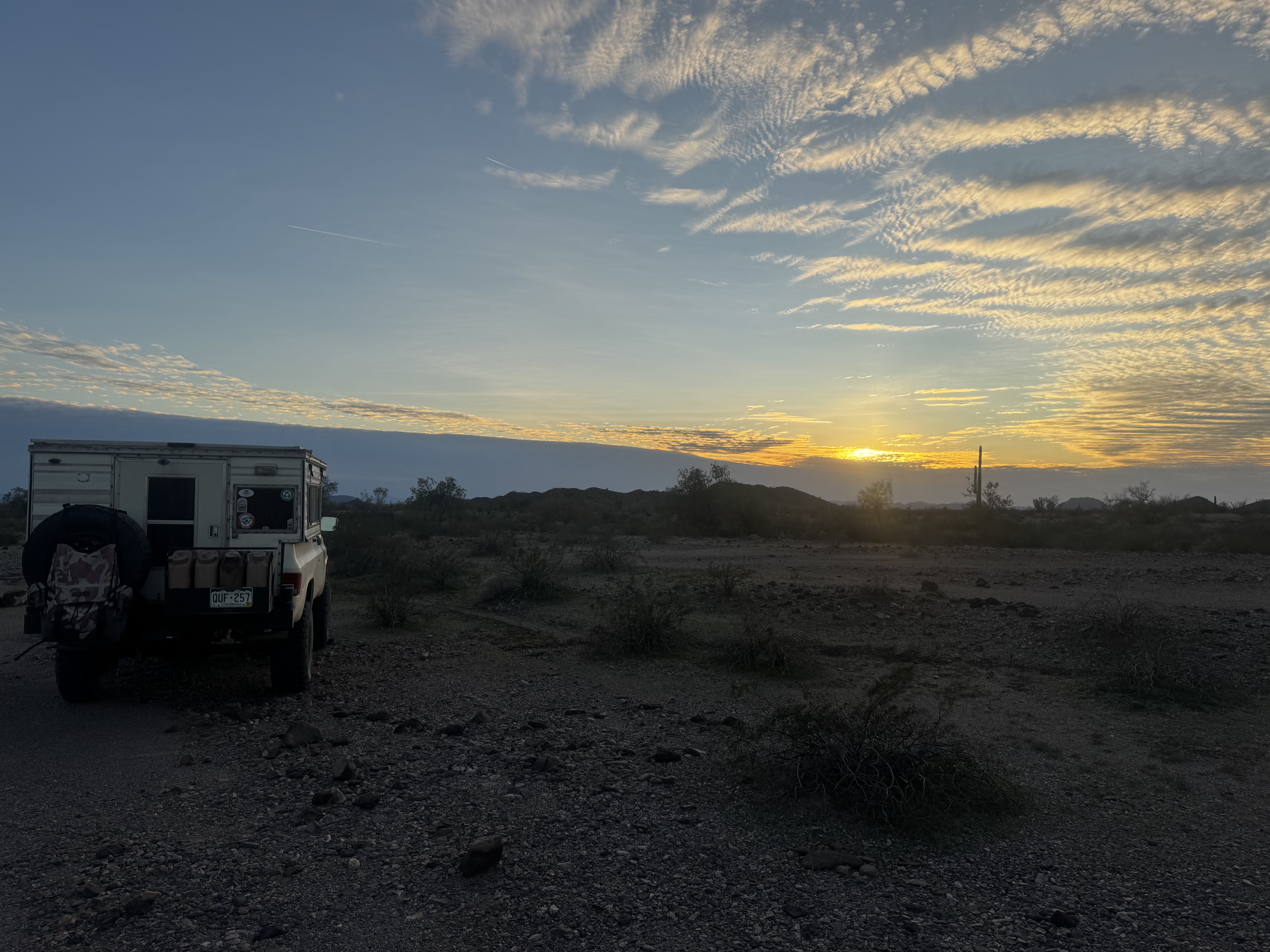
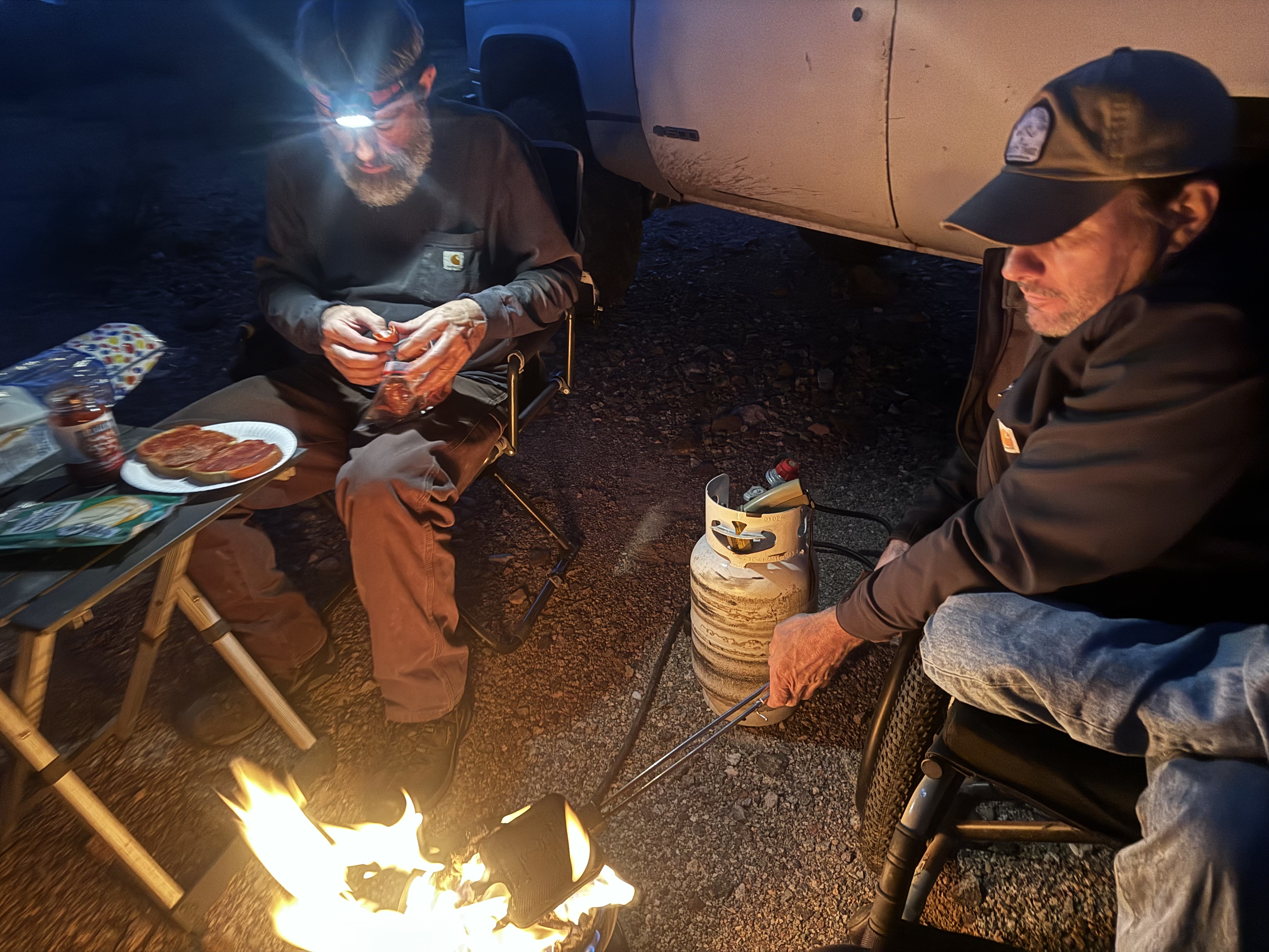
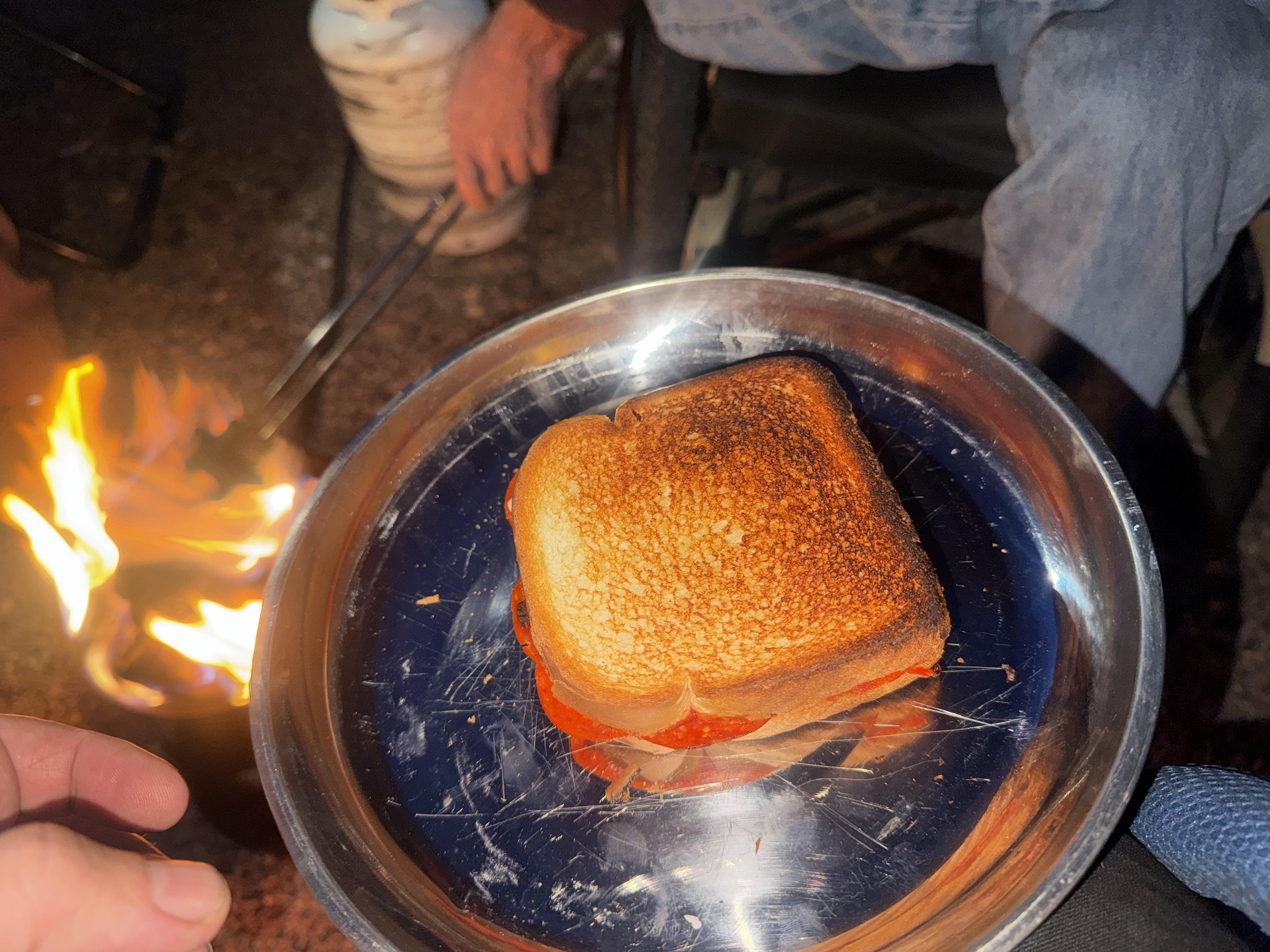
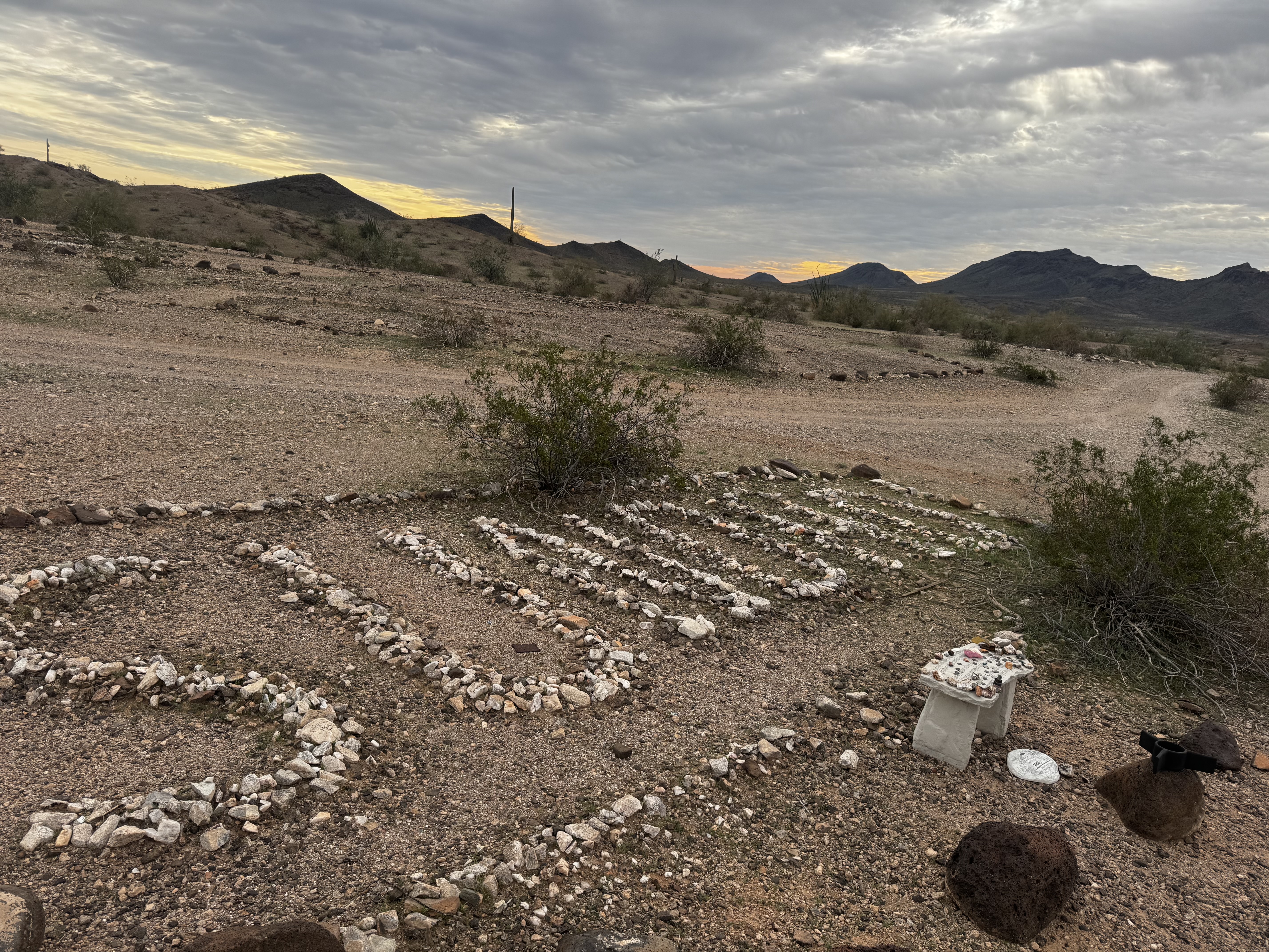
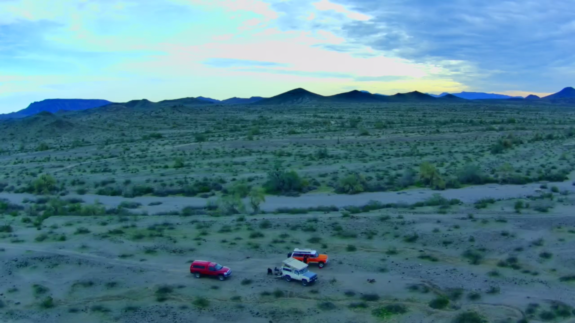
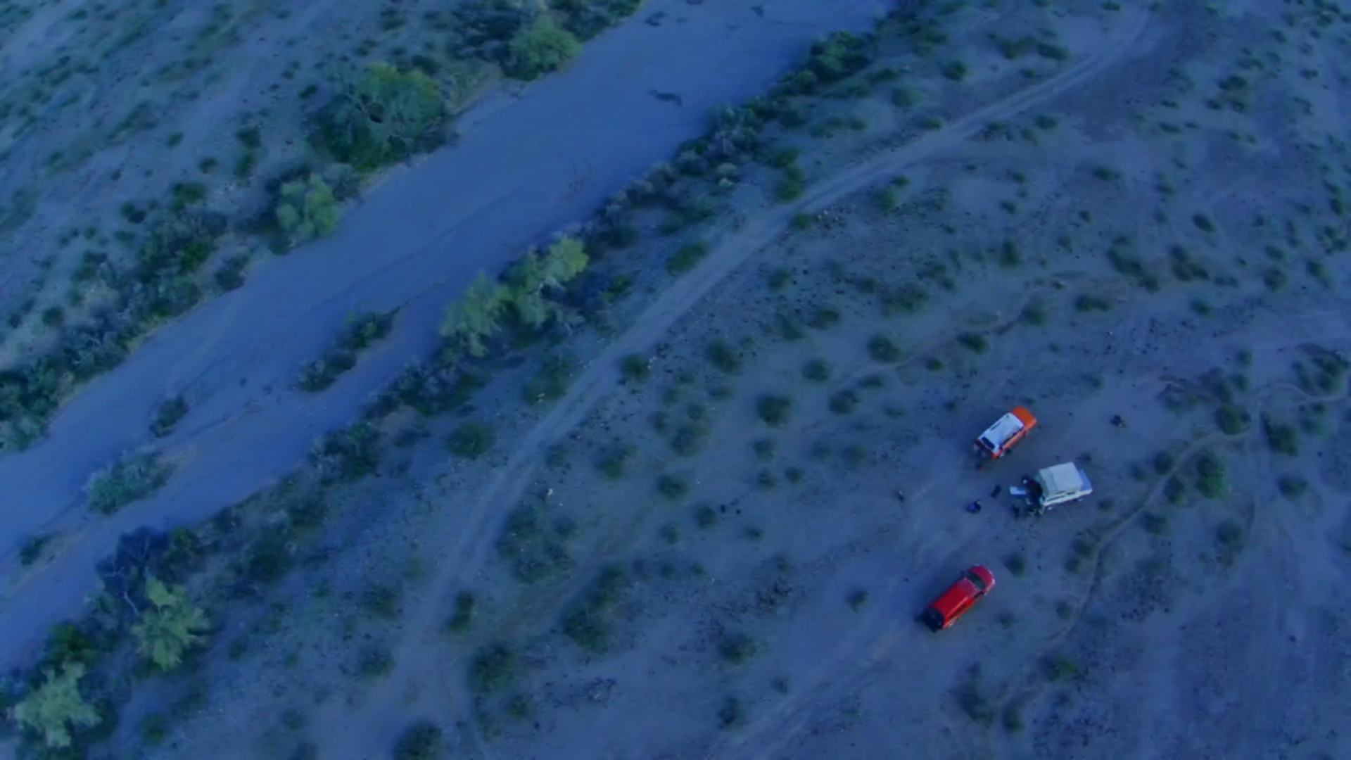
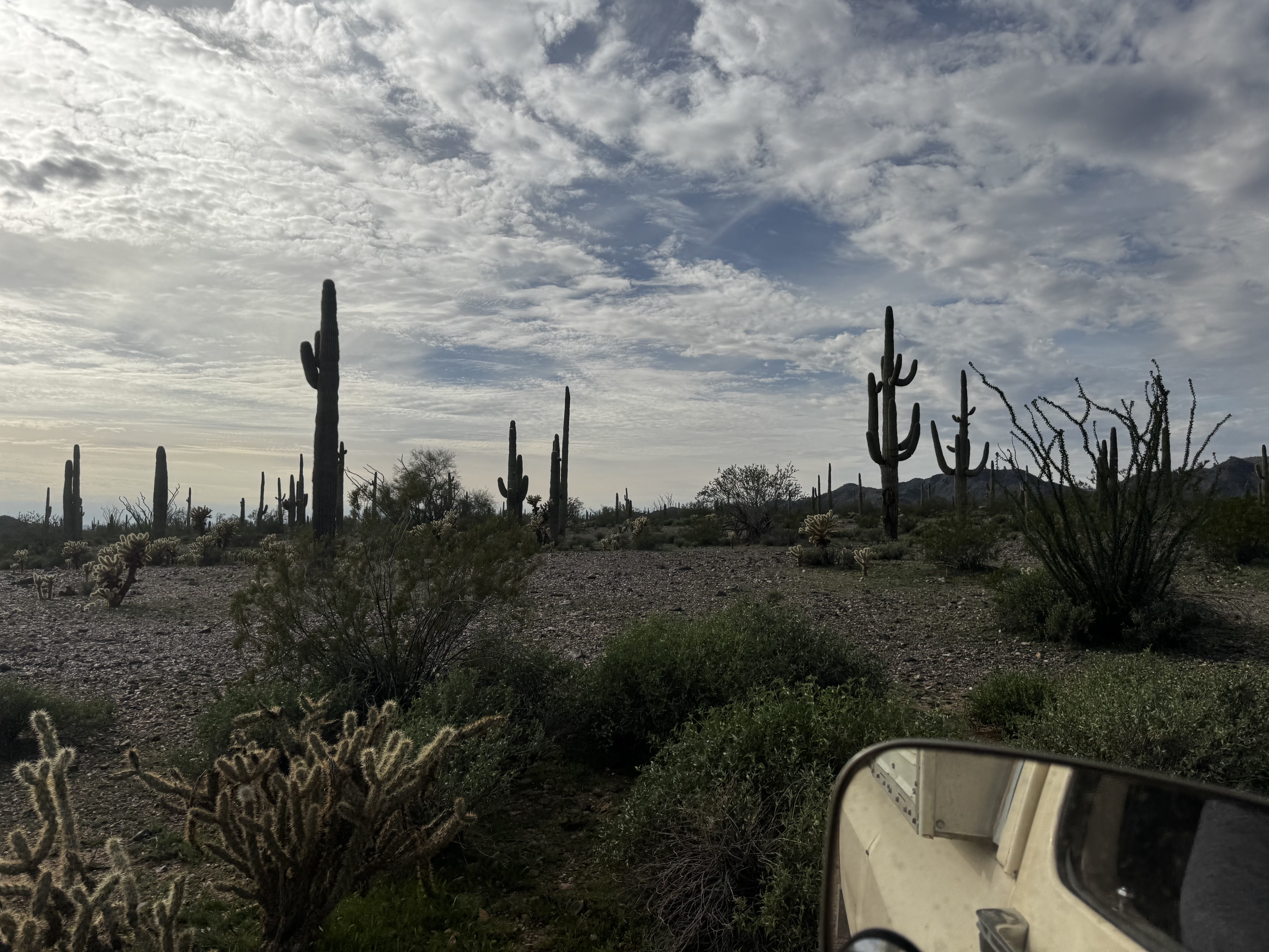
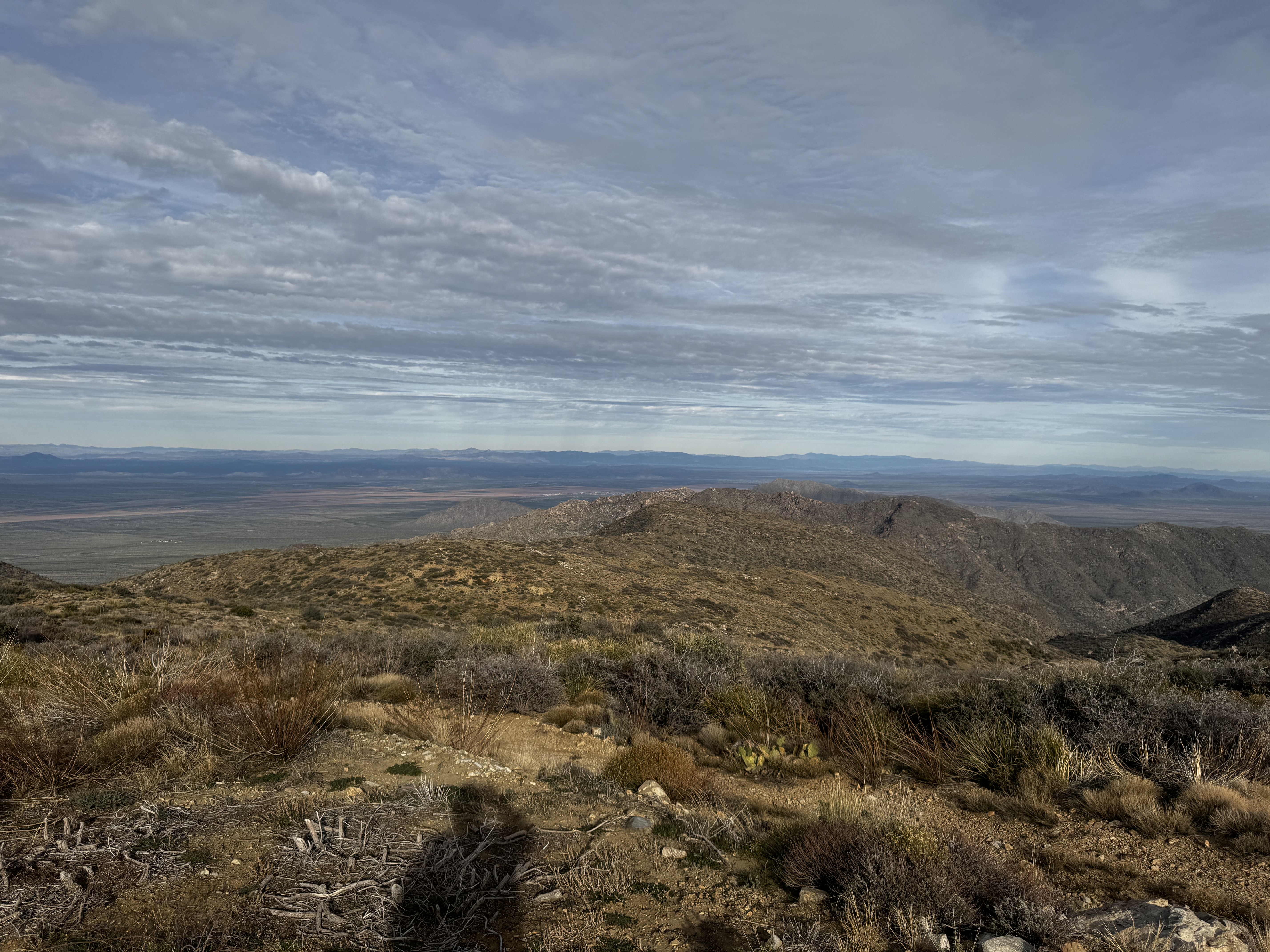
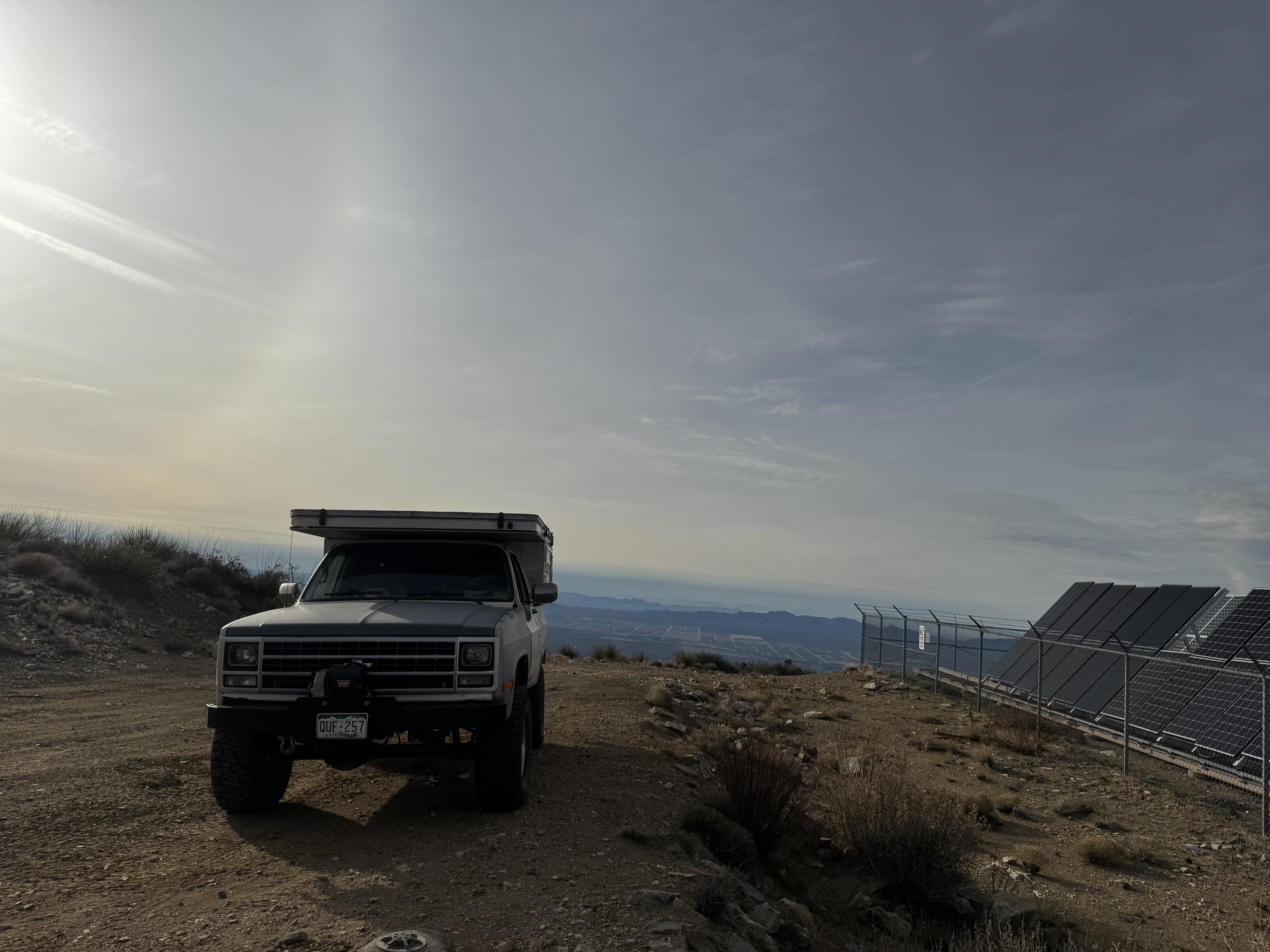
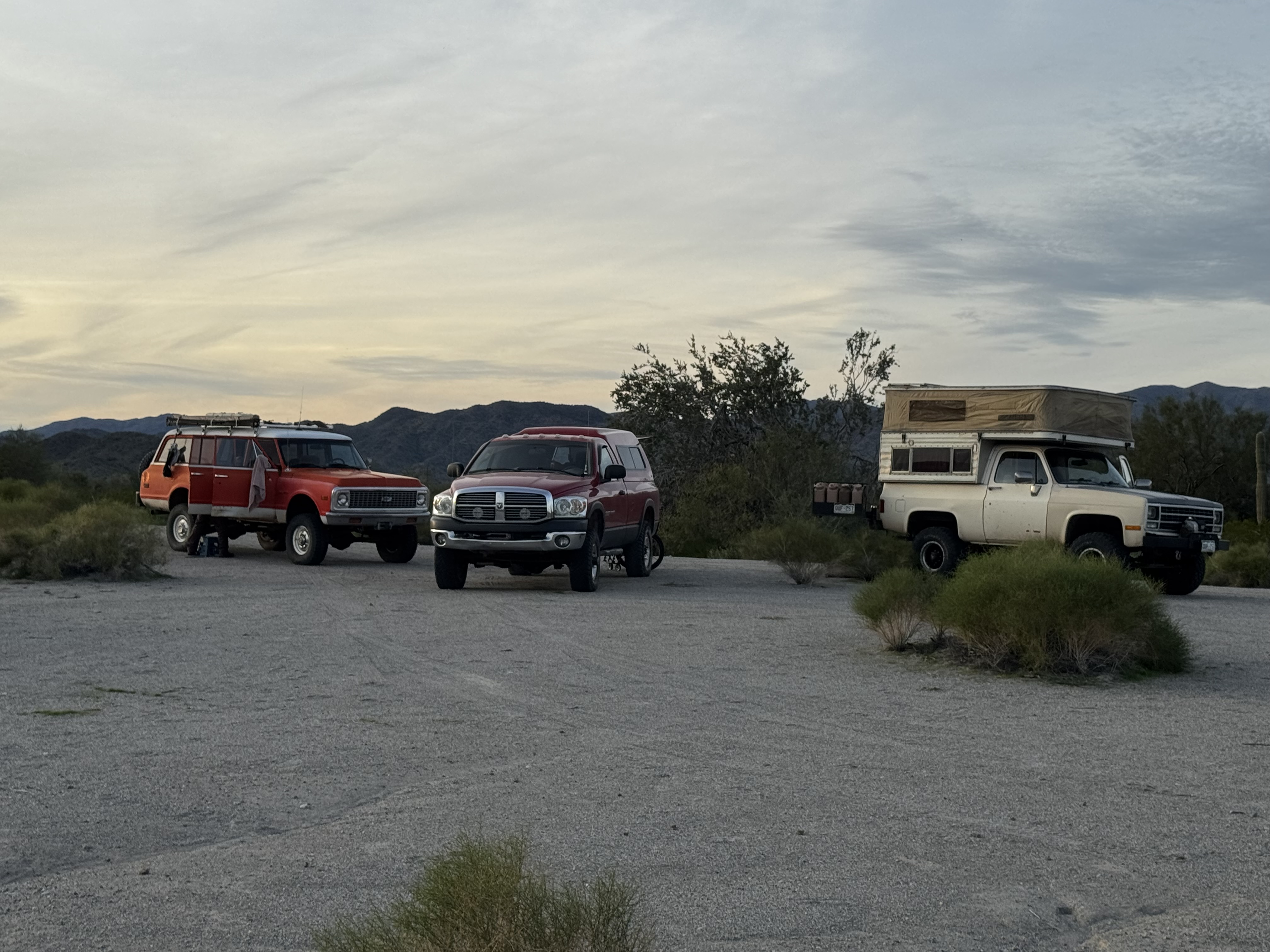
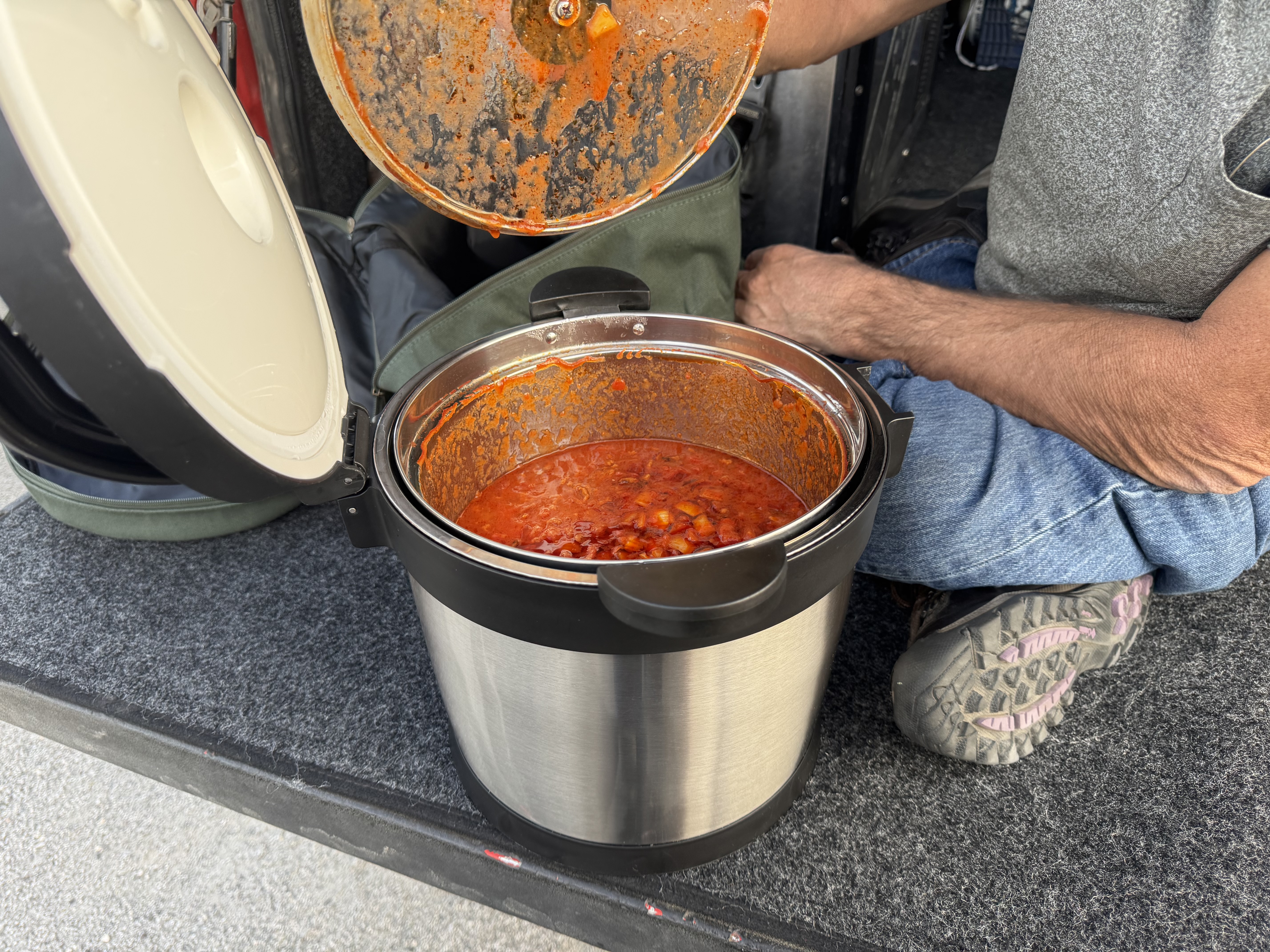
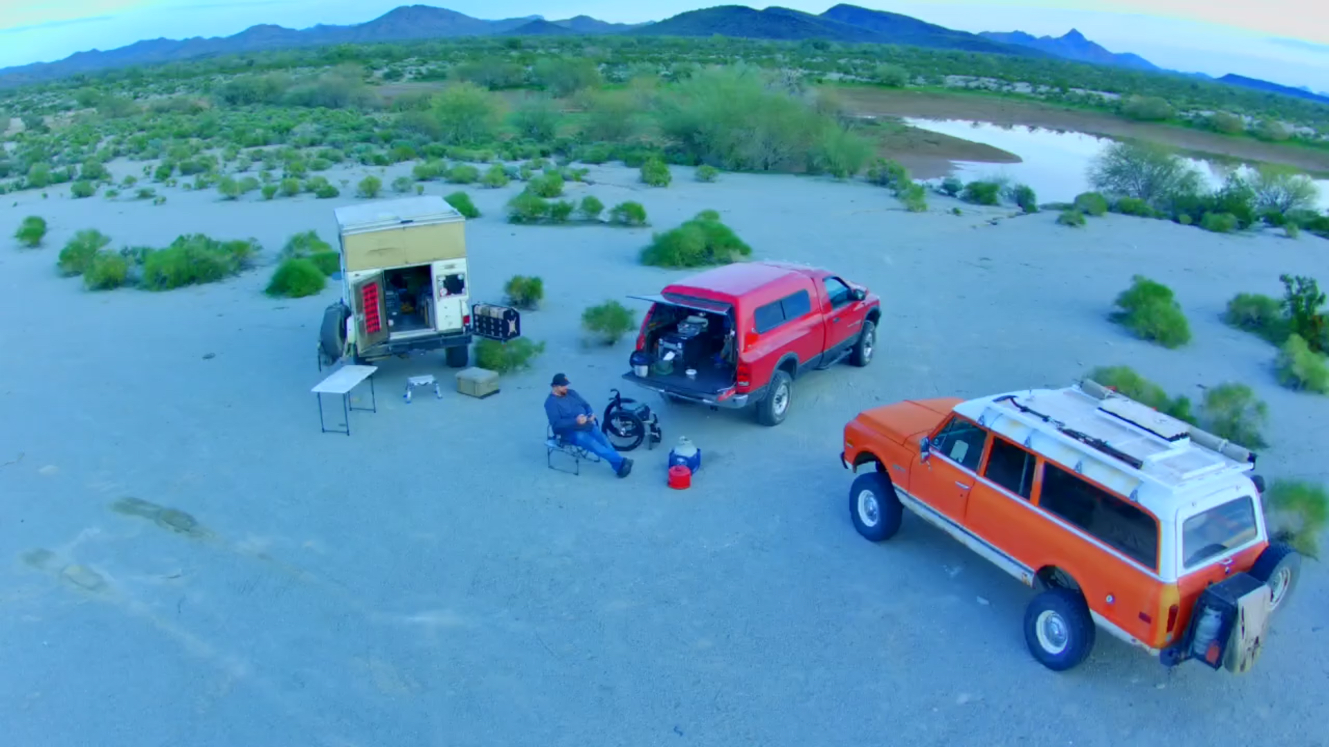
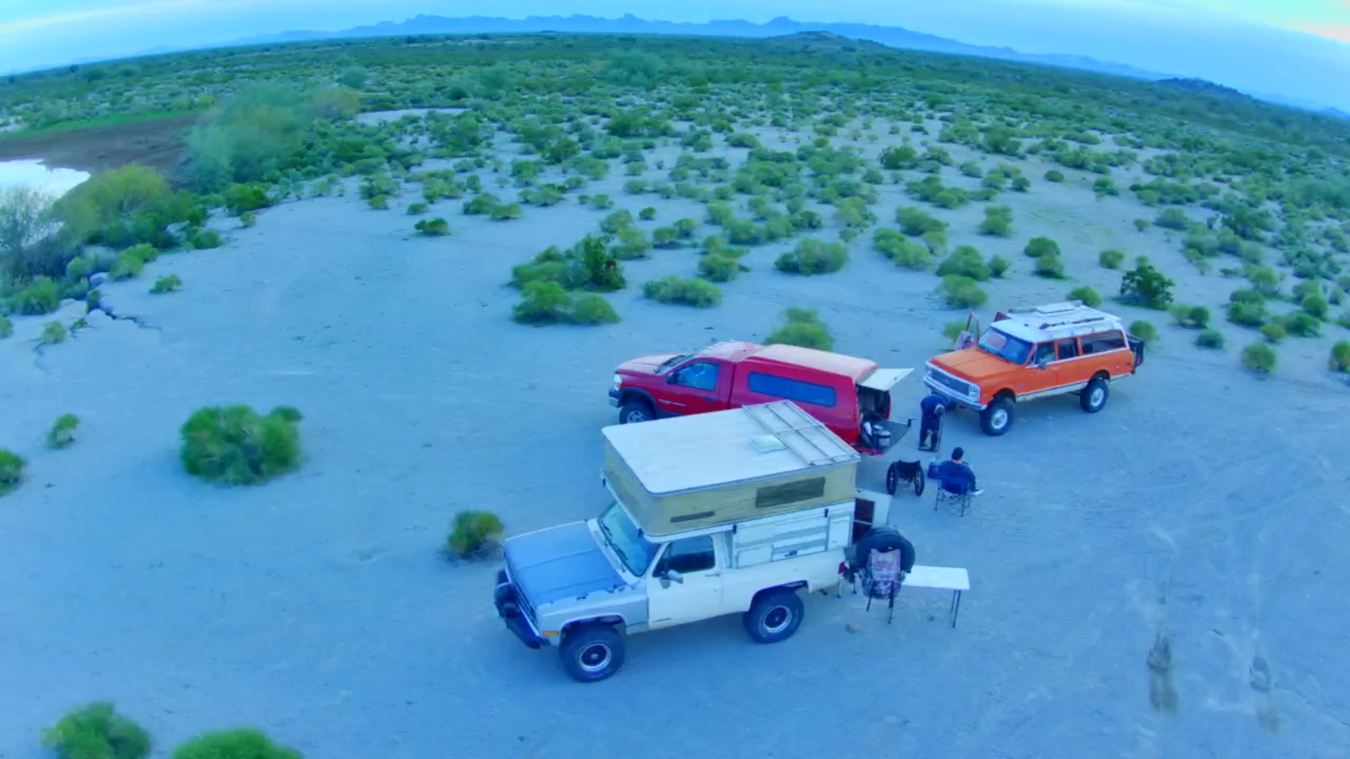
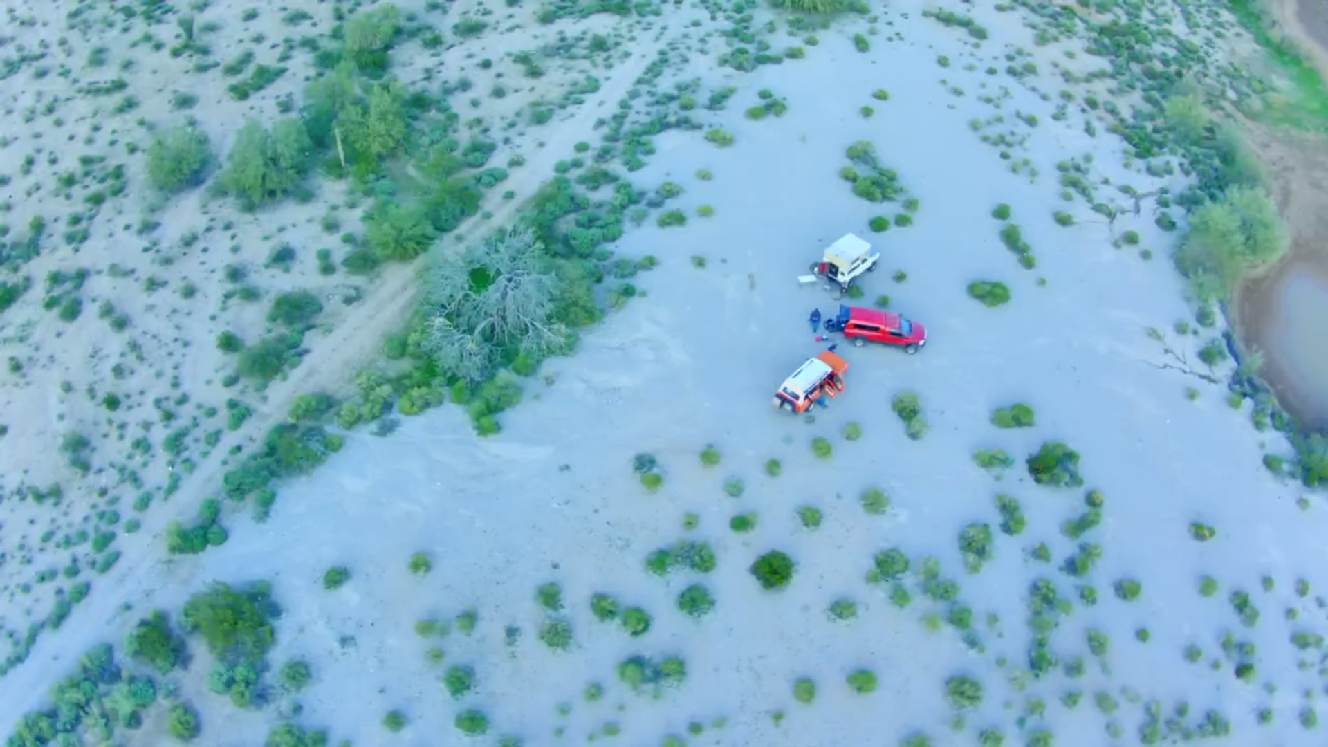
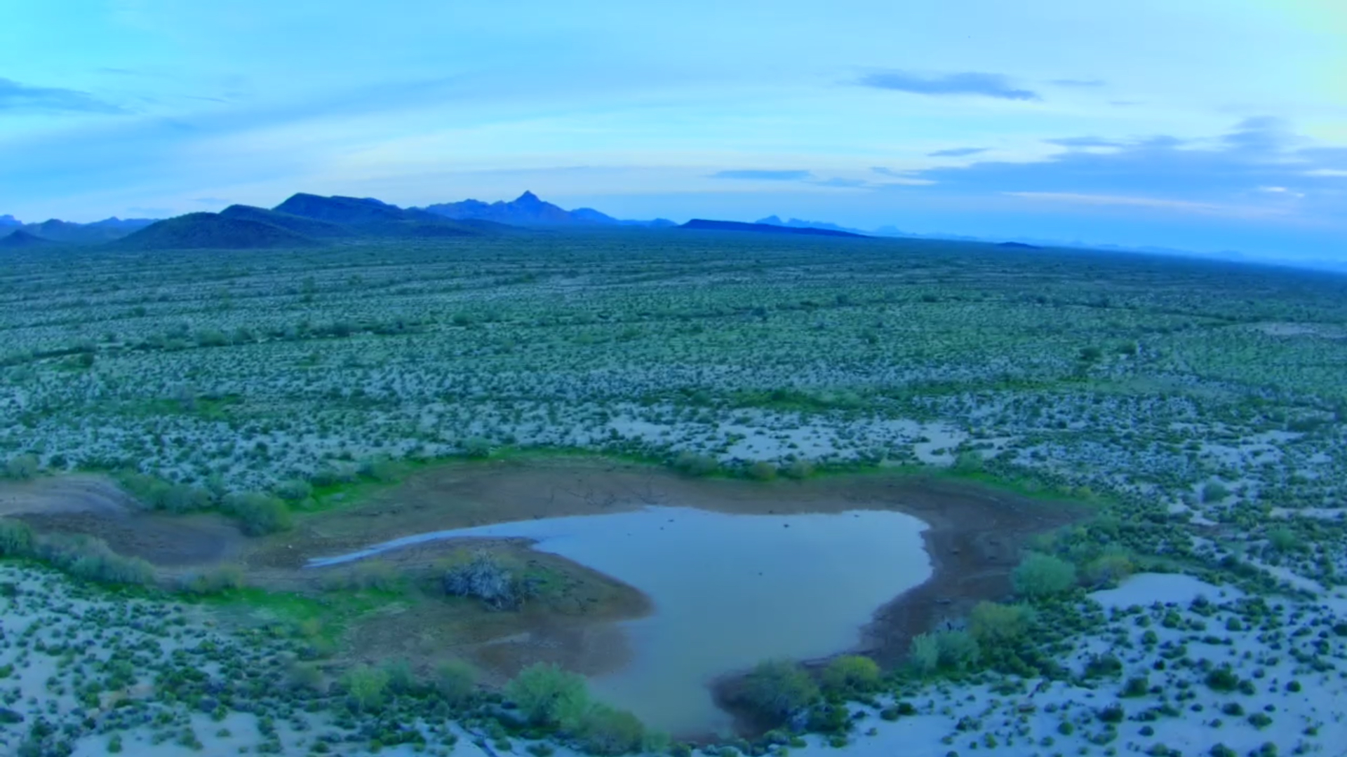
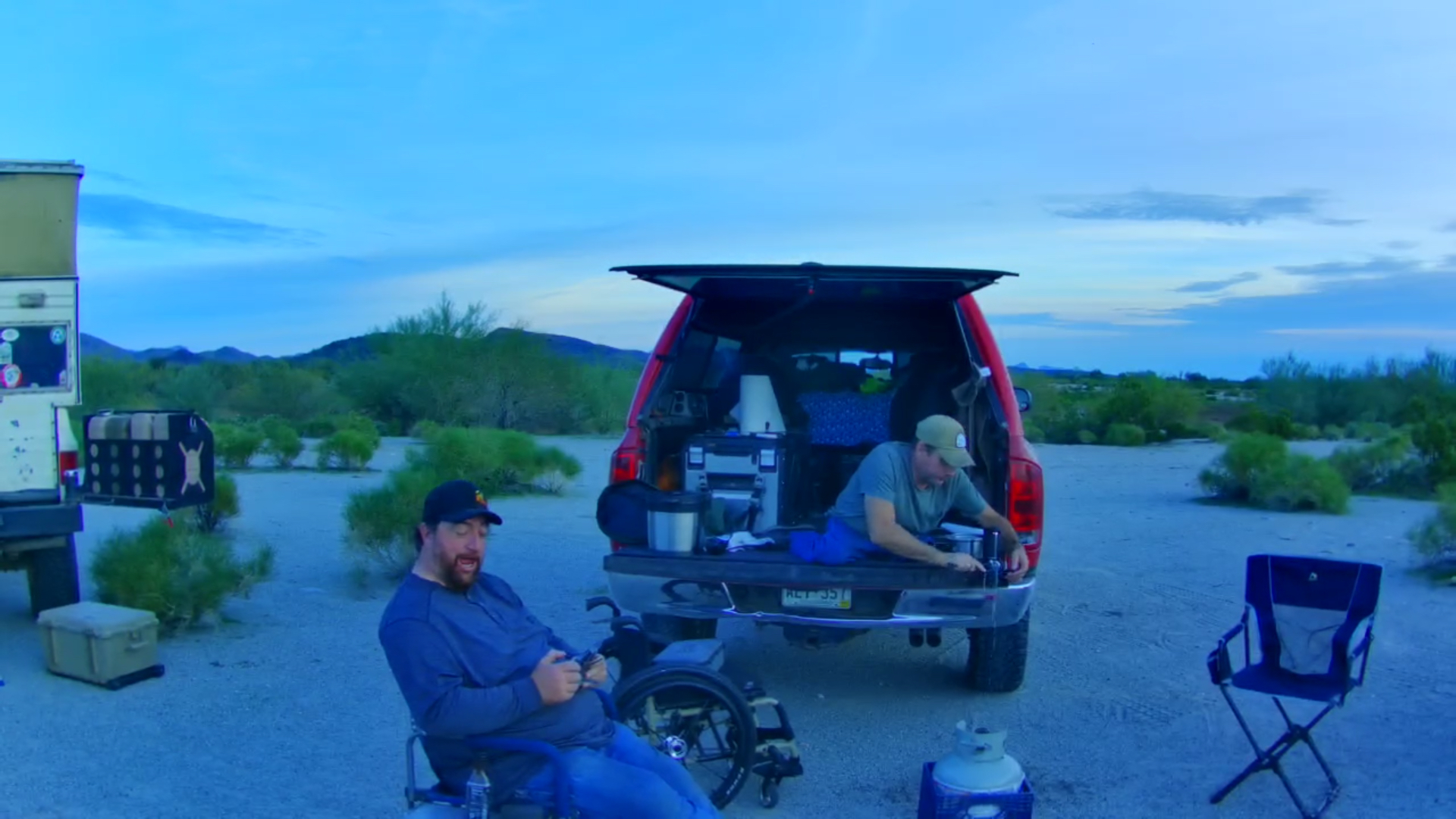
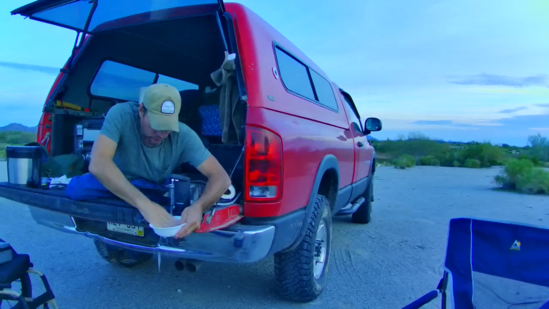
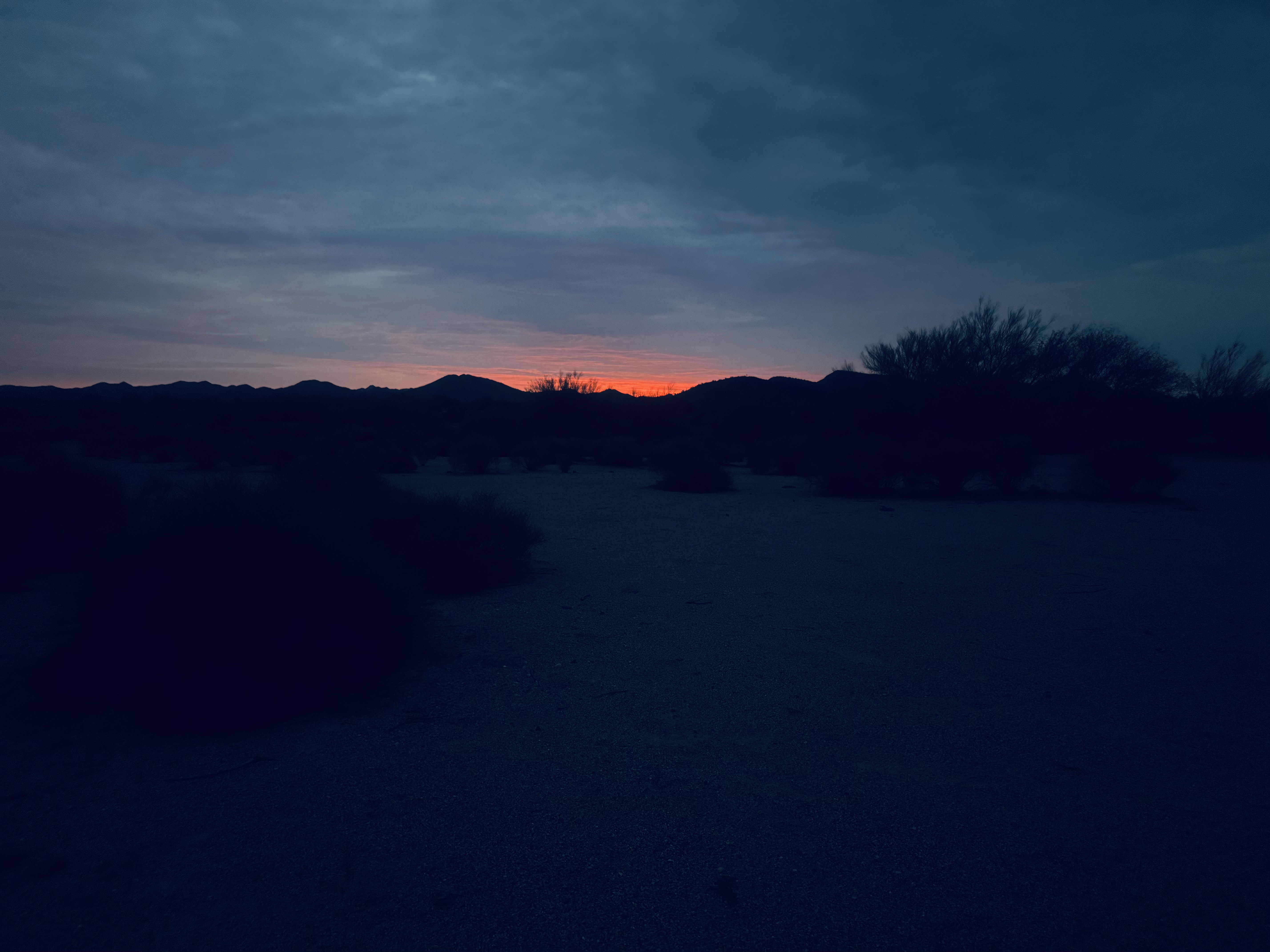
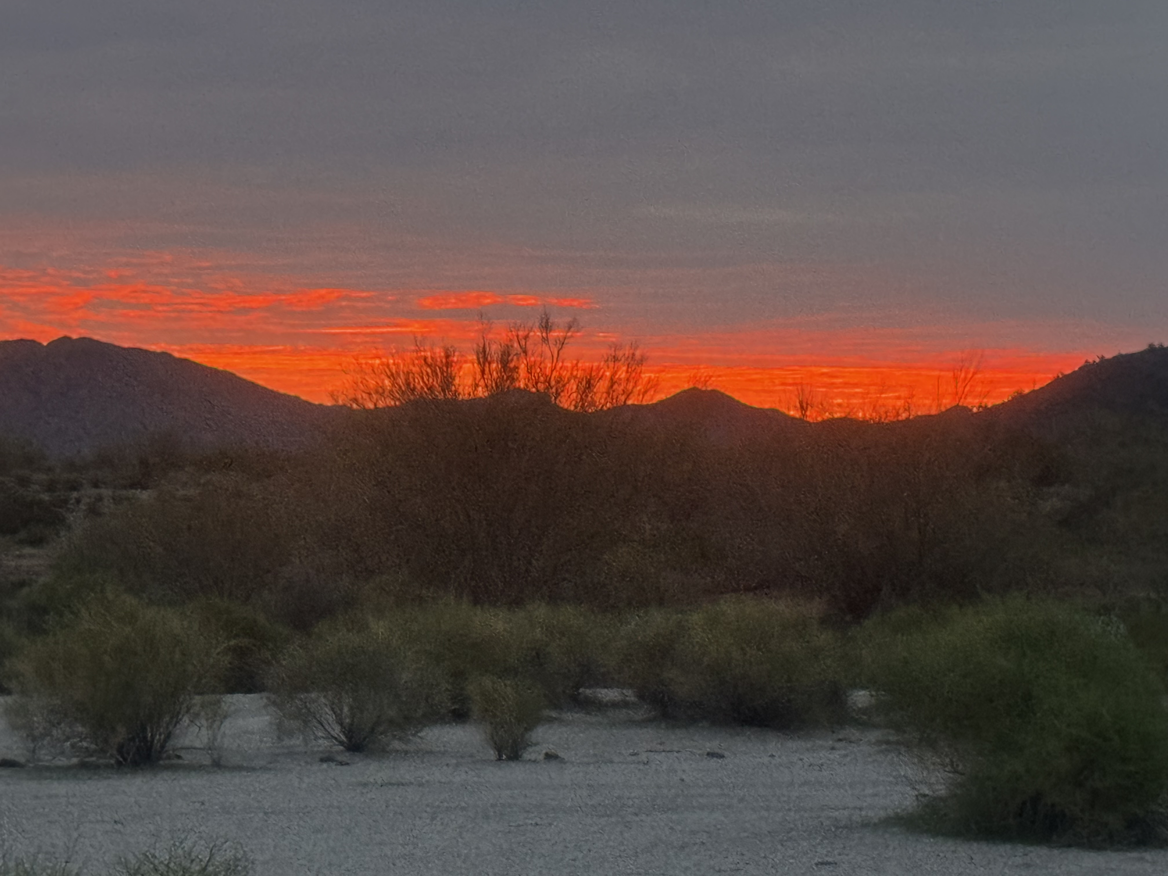
Our historical learning component of our trip satisfied, we follow Nick on some of the smoothest dirt roads on the planet. He had heard of some abandoned structures from a failed hot springs resort in the town of Auga Calliente. Not much is left but we got some pics. Daylight is fading and we have to move to find a spot before dark. It took a ways but I think we found a decent spot. Great sunset. Meal was simple pizza sammiches cooked in a cast iron pie maker you hold over an open flame. Nick has this down. White bread,pizza sauce, pepperoni and provolone. Cook in the pie maker until the bread is toasted. So good.

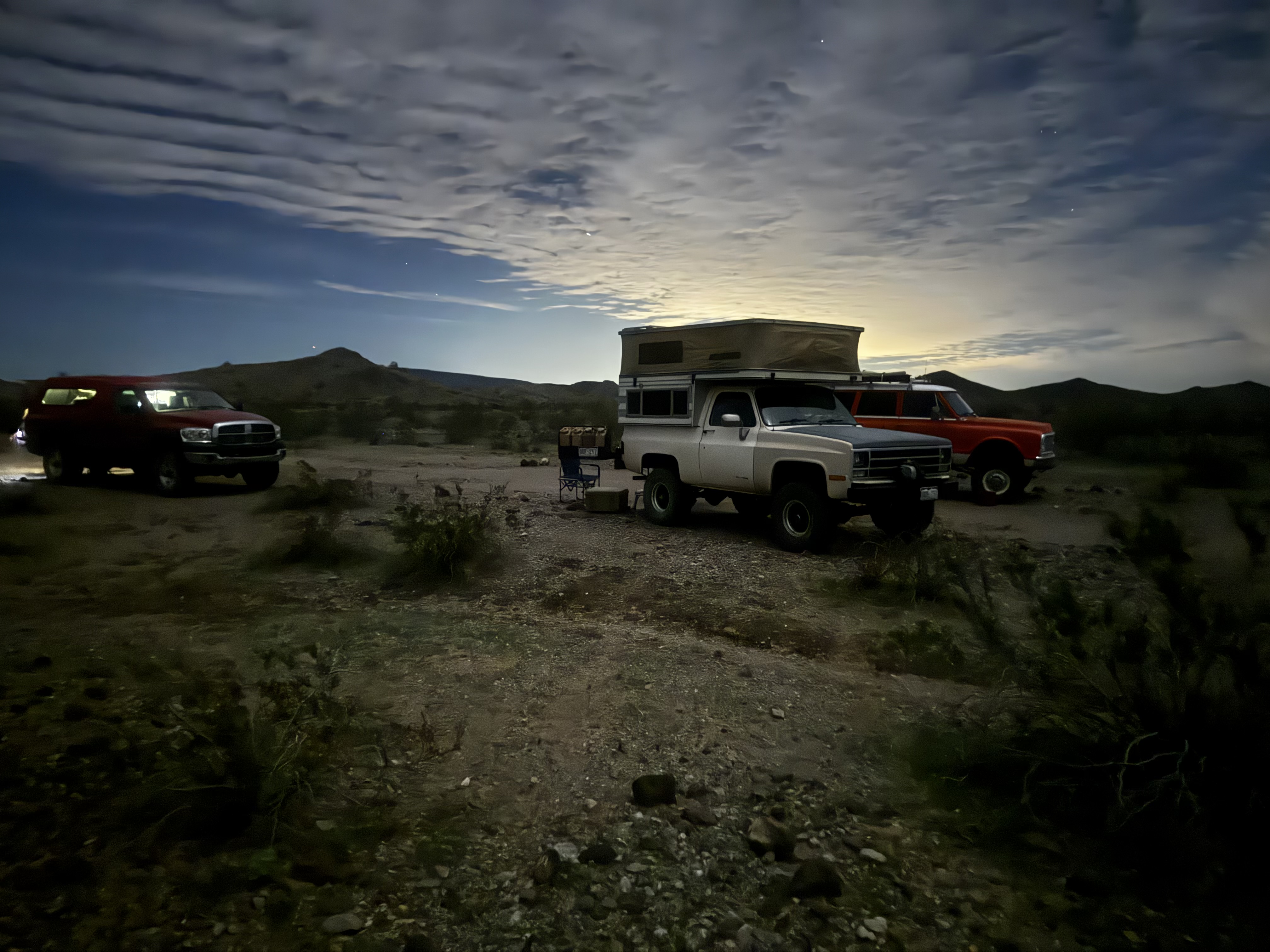
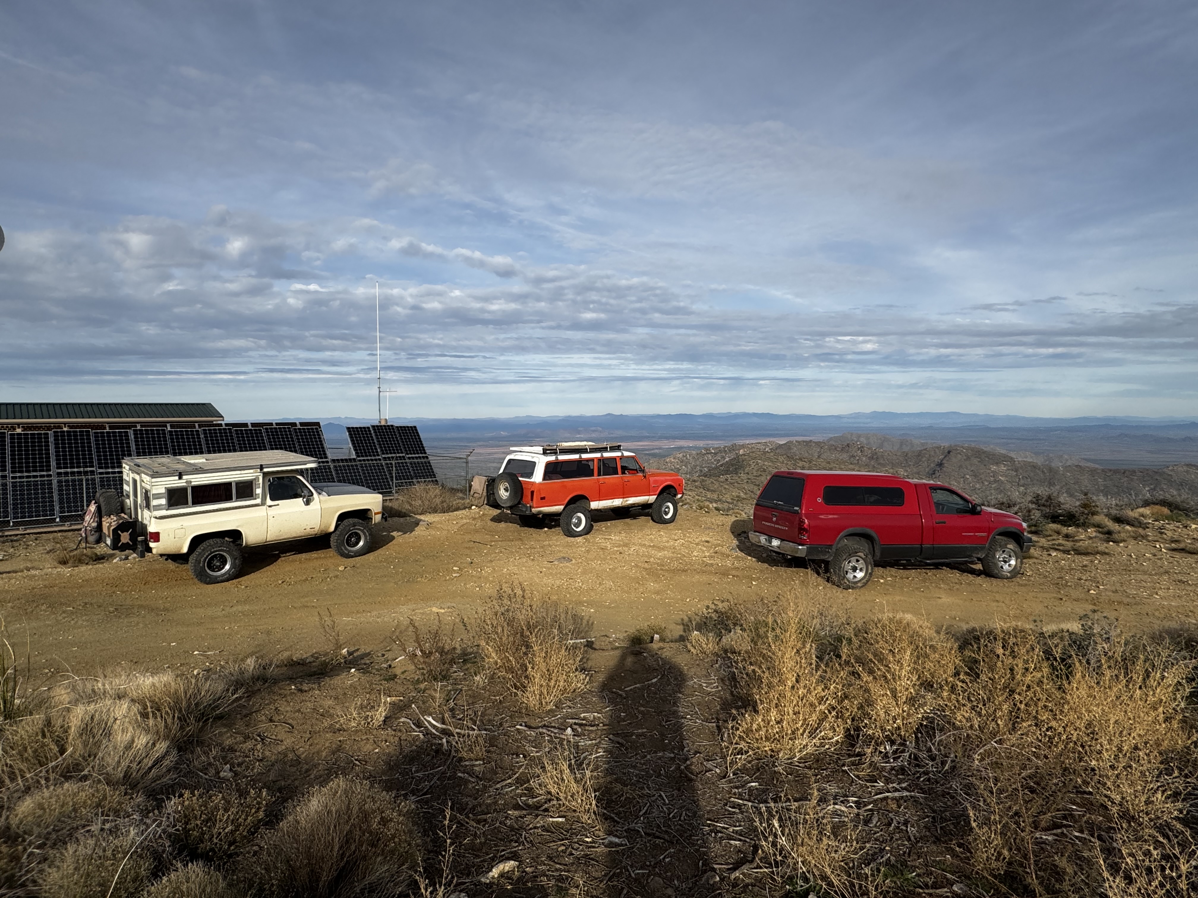
We hung out to discuss trip routing and called it a night.
 
We broke camp at a consistent time yesterday. We made a right turn out of camp and climbed in and out of a wash to find one of the stranger things in the desert, the ghost town of Sundad. According to Google, Sundad started out as a mining camp that quickly fizzled and switched to a Sanatorium for TB (tuberculosis) patients as the dry desert air was supposed to be better on the patients. Being the early 1900’s, in the middle of nowhere and in the desert, the patients didn’t have much to do with their time. So they spent time setting up the very cool designs on the desert floor itself. They went as far as separating light rocks from dark to make the patterns which viewed from above is when they really show the scale of what they did.


The designs cover a lot of ground and many are stunningly symmetrical. I put my drone up to get a full scope of the area. Wow. Though that’s not the only detail. In the center of many designs is broken glass. Some clear, green , blue or brown. The brown glass mostly coming from very old Clorox bottles which I’m betting the facility went through by the case keeping it hospital like clean. Though for the automotive nerd if you scan over the clear glass piles you’ll find a few large chunks of fluted glass from giant headlights of the teens and twenties. The radius on the edge being much larger than the big 7” round lights that were common in the 50’s and beyond.


Our history lesson done for the day we pushed on what I’m going to say is the smoothest most well maintained dirt road I’ve ever been on. Zero washboards, smooth with the right amount of gravel. We had been on it on the way into camp the day before and spent another 30 miles getting back to pavement. Gorgeous desert views in every direction. That pavement we connected up with was old state highway 85. We made a slight detour to check out the Gillespie bridge and what’s left of the dam of the same name. The bridge and dam are on the Gila River and back in the 90’s due to massive rain above the damn and the resulting deluge of water caused a portion of the dam to fail and send a wall of water downstream causing a lot of damage.


We were there long enough checking it out to decide and have lunch in the parking lot. With time on our side we had the plan get dinner started. I had everything together to make a batch red chili. What we had to make it in was Bill’s new rocket pot. Think of it as an off grid non-electric crock pot. Instead of an electric heating element a normal crock pot has, this one uses a dense stone trivet that you heat up to 750 degrees on a stove and put that in the bottom of the pot. While the stone was getting up to temp I browned the meat for the chili in my cast iron on the other burner. As both warmed up I dumped the canned ingredients, two cans of hot chili beans, two cans of rotel chopped tomatoes and green chilis, half of a diced onion and a large can of tomato purée. Once the meat was done I dumped it into the pot and we warmed the pot on the stove for a few while the stone was getting close to the target temp.


Once the stone is hot it’s loaded into the main insulated pot with the ingredients in its own stainless steel pot lowered on top of the stone. The thick lid with a clamp locked everything inside and the entire assembly is put into the insulated canvas travel bag and tied down in the back of Bill’s truck cook as we travel. Killer device I have to get.


We doubled back on 85 and headed back north west and set our noses pointed to Harquahala mountain. It’s in our site for over an hour. Jutting up from the desert floor with a commanding presence. It’s a little after two and we have to get to the top and back down before dark. We quickly air down and start our accent. Road is rocky but not crawling though any boulder fields. Just annoyingly rough. We make our way up a tight canyon to the point where the switchbacks start and we really begin to gain elevation.


45 minutes of steep switchbacks. I’m in low range and covering most ground in 3rd and 4th, going to 2nd on the steepest parts. It just went on forever. We hit what I thought was the top and turn a corner to see the trail continuing up above me out of sight again.


Eventually. We do reach the summit. 360 degrees of views to the desert floor below. It was a little hazy that limited how far we could see, but it was still spectacular. There were spots we could have set up camp near the top but it was completely wide open exposed to the constant wind and being at 5600ft at the top it was gonna get cold there.


We head back down. We got to the bottom with about 30 minutes of daylight left to find a place to camp. Nick had spotted a side road in dirt on the way in so we took off for it. In and out of a dry wash to a nice flat spot that was easy to level the trucks on and set up camp. There was even a large pond nearby for cattle. I sent the drone up just before loosing the light.


Dinner was easy. Open the pot up and the chili was nice and warm. Didn’t have to stir it once because it was well shook in the back of Bill’s truck all the way up and down the mountain. A little cheese and crunched up crackers in the chili and it was dialed. Great batch and since all the work was done at lunch we just had to scoop and serve for dinner. We checked the stone temp after being in all day and it was still at 175 degrees. So about 5-6 hours was perfect to still have the food at a nice hot temp to serve at. The instructions say you can prep a meal at breakfast and let it cook all day but Bill did a couple of test meals at home and found the stone didn’t stay hot enough all day. 5-6 hours was the sweet spot and why we prepped at lunch. It was worth the wait.


Dinner in our bellies we talked over the campfire in a can and started to lay out the next day route. The forecast has been for rain to be back mid week. We had worked our way west for a possible run on DV, or at least St. George or Hurricane Utah and work our way back via Page and the four corners. But the forecast shows the same system bringing rain to AZ is bringing snow to higher elevations in southern Utah and southwest Colorado.


So a new shift in our plan is to outrun the rain. Hop back on I-10 and head straight east through Phoenix and get to Globe by lunch or hop down to I-8 and avoid Phoenix completely and take a more drastic southern route past Tucson the way we came in and camp somewhere near Demming again.


As of right now. Either option is open. We will review this morning. I’m currently writing this in notepad since we have spotty reception out at camp.


We did miss out on Death Valley but we did get to see most of the desert covered in green due to a wet fall. So many cool things to check out if be busy all winter long exploring if I lived in Phoenix or Tucson.


Total mileage 120 miles, most of it being dirt on this day.
 
Today’s plan out run the storm that was to set in where we were and all points north we intended on hitting on our way home. Snow in Durango means definitely snow on wolf creek pass and that’s a big no bueno for both of us. We detour south past Tucson on I-10 and go back the way we came.

Nick left us at camp this morning. Going north from where we were put him on a perfect path for home.

We covered a ton of miles. Two gas stops and lots of caffeine later. We ended up on some BLM land outside of Truth or Consequences NM for 502 miles on the day. But it puts us an hour closer to home so the search in the dark for a camp spot was worth it.

It’s an interesting spot to take in New Year’s Eve. Though I suspect I’ll be in the camper well before midnight. Hanging out with Bill in his truck now. I’ll be back to start posting some pic since we got 5g where we are at.
 
Happy new year folks. Spent the entire day on the road only stopping for fuel and bio-breaks.

Though the storm we had been outrunning caught us in the night. The pitter patter of raindrops on the camper roof in the morning was the signal it was time to move. We were a mile or more down a power line dirt road that was going turn to soup if it rained any harder.

I was dropping the top and I could see light on in the back of Bill’s truck so I knew he heard the same thing I did. We got packed up and rolling by 7:30 and got back to pavement.

A couple more miles back to the highway and put the hammer down. Ended up stopping three times for fuel and ate a burrito from Maverick on the way.

I was wiped out with the drive so when I got home I took an overdue hot shower, ate a couple tacos and crashed out.
 
Trip stats:

Total mileage: 2,553.
Total time moving: 153 hours, 41 minutes.

Daytime temps hovered between the mid 50’s to low 70’s. Overnight temps were down to the low 40’s. Comfortable temps either way. The little Chinese diesel heater was perfect. While the controls are still befuddling, I figured out some understanding. Using the “h” setting, “h” standing for hertz, as in the fuel pump pulse width. Higher the number, more fuel delivery, more heat. Even though it wasn’t too cold at night I did find myself turning it on anyway before retiring to the camper after hanging out. More to just to take the chill out of the air inside the camper. Warming up the surfaces of everything inside the camper did a good job retaining warmth after shutting the heater off. Which I did shut off before going to bed every night.

That’s where the new zero degree sleeping bag came in. Heater off, the temps would eventually would still drop. But inside the bag I remained nice and warm. My standard bag I’ve used for years was a 40 degree rated unit and in summer camping conditions it’s truly overkill but in past cold weather conditions I would run the old propane furnace all night long to make the bag useful. Usually at a cost of propane as it was very hungry on fuel. And as I found out the hard way last year when the furnace quit on a fall mountain trip, the 40 degree bag alone just wouldn’t cut it when the temps dropped to the bags rated value or below.

Seems kind of obvious a lower degree bag would have been a smart addition sooner but the propane furnace seemed like it was up to the task. I was putting a lot of faith in a 40+ year old piece of of hardware as simple as it was. I found out what happened when it it quit and it was a very uncomfortable night for me and my son. Though upon removal I think I figured out why it stopped working. A cap had come off the backside of the propane regulator inside the propane tank compartment. The cap off exposed a spring inside and I’m not sure if it was allowing propane to leak or not. The lack of fuel flow explained why I couldn’t get it to light off when it quit. I didn’t notice any raw propane smell, but probably got lucky.

I will also report running the diesel heater I did have a new CO detector inside the camper and it read zeros every time it was running.

I do need to fortify the mounting of the heater but other than that, no complaints.

Next post I’ll get into more trip pics.
 
The morning after our second night with Nick he routed us by the historic San Xavier del Bac mission. Officially the oldest European structure in AZ, with construction finishing in 1797 according to Google. It was busy with tourists, we agreed to do the driveby and move down the road.


Pushing north on I-10 out of Tucson had us passing Picacho peak, which Nick pointed out was the sight of the most western battle of the U.S. civil war back in 1862. Nick’s historic knowledge of the area knows no bounds it seems like.

We peeled off I-10 at Casa Grande for another historical detour. This time to check out one of the many ground based concrete calibration targets used with the old Corona spy satellite program. Nick mentioned that this is one of the easier found targets but many spread out on the desert floor. Google indicated there were 272 targets originally set up on a 16 mile by 16 mile grid. The target itself is 60ft across.

The marker in the center.

Our trucks provide a sense of scale to the target.

We ate a quick lunch at the target and made our way down I-8 for a little bit, turning off to go find the painted rocks historical site. The petroglyphs date back over 1000 years and were attributed to the local Hohokam and Patayam tribes.


We explored some more and with daylight fading we found out next campsite near the smoothest dirt road we had been on for a while.

Dinner on this night was really simple. Cast iron single serving pie iron and making some really good pepperoni pizza sandwiches.
The result, nicely toasted bread with melted provolone and the warmed up sauce and pepperonis. Simple and easy, great dinner.

My IPhone takes some crazy night shots at camp. That light source is the light pollution from Phoenix in the background.


Next up Sundad.
 
Sundad AZ. An interesting site that we camped near the night before. Nick indicated that the history is pretty spotty, but the area started as a mining site first and then later as a place for tuberculosis patients as the common thought back in the 1900’s was dry desert air was better for them. What the area is known for now is the extensive rock art on the ground. Many of the formations centers are based in broken glass. Clear/white, green and brown colors being the dominant used. All of the glass looks to be really old. Brown mostly from Original Clorox bottles. If you looked at the clear glass close enough you could see even broken chunks from old glass headlights.


Glass piles.


From the drone.


A couple of drone shots from camp the night before.


Next up, last trail day pics.
 
The last trail day. We took off from Sundad back on the best dirt road all the way back to pavement. Where we rejoined pavement we were on state highway 85. Not too far from there was the old Gillespie dam and bridge that was cool to check out. The damn having failed during a flood that filled the Gila River that Nick remembered when it happened back in 1993.

The bridge is a cool rivited iron design.

You can see where the dam failed as you cross the bridge.

We hung out a while taking in the sights and decided to have lunch. While doing that we decided to try out Bill’s new rocket pot. It’s a tad bougie or overland-ish but it fricking works. I have to get one now. I should explain what on earth it is. Think of it as an off grid, non electric crock pot. I grabbed ingredients to make a red chili before and while I had the meat going on my skillet, Bill was warming up the stone on the other burner. It needs to be at 750 degrees to cook. You can see I had the canned ingredients in the silver pot with a chopped up onion.

We put the whole batch on the stove to warm up while we waited on the stone to get up to temp.

With dinner put together and inside the insulated bag we headed for Harquahala mountain seen in the pic from the road


Tires aired down again we hit the trail. The desert flora is always a favorite of mine.


After gaining some elevation

Not many pics from the ride up. I was a little busy focusing. From the top.


A couple of shots of the trail from the top.


Final campsite next.
 
With the mountain peak bagged, we came down knowing we wouldn’t have much sunlight to find a camp spot. Nick had spotted a possible place on the way in we went directly too.


With camp set up it was time to serve up some chili. It was at about 170 degrees when we served it.
Great batch. I called it 007 chili as it was shaken on the trail, not stirred. Yes, I’m a dork.

Some drone shots from camp.


The next morning was cloudy. As I mentioned before a little bit of rain early but the sunrise was pretty good.


We got buzzed by a Piper Cub who noticed our camp from the air. He was probably at 150ft above the floor and noticed me taking a pic. The pilot dipped his wings at me as he went by. That was pretty cool.


I’ve got to admit. I’m pretty jealous of those of you that live in AZ. I’d be out every weekend bombing around checking out the cool, crazy, historic sites out in the desert.
 

Latest Posts

Top Bottom