My son and I got back from Moab Yesterday at 5:00 after leaving at around 9:00 in the morning. We drove together as far as Grand Junction and split up for our respective cities after stopping for a splash of fuel.
Before I dive deep for the full blow trip report, some trip stats. Over the 5 days we were out, we covered 816 miles getting an overall average fuel economy of 11.36 mpg. With the route over highway 50 and the climbs over Monarch and other minor passes and La Sal pass in Utah we gained a total of 40,780 ft in elevation and spent a total of 39 hours in the truck over the 5 days. That's a lot of seat time for sure! I'll skip back to the beginning now.
The plan was to meet up with
@Capt Ron and his son Mason in Pagosa Springs Wednesday morning. We were mainly packed up the night before and just had to add the last essentials before bugging out that morning. Yes, Bent I didn't forget my duffel bag. I did manage to forget the fixings for our fajitas I was going to cook for the four of us on Thursday. Missed the tortillas, cheese and peppers. I did forget my hoodie, but lucky for me the heat in Moab made it ridiculous to need one to start with.
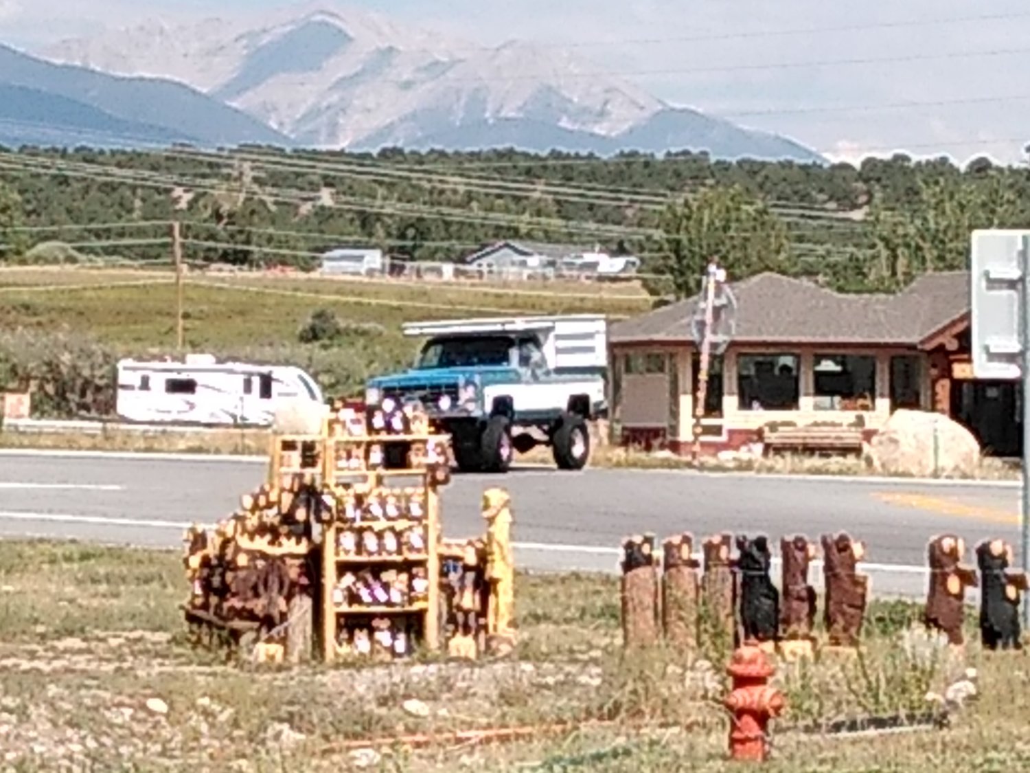
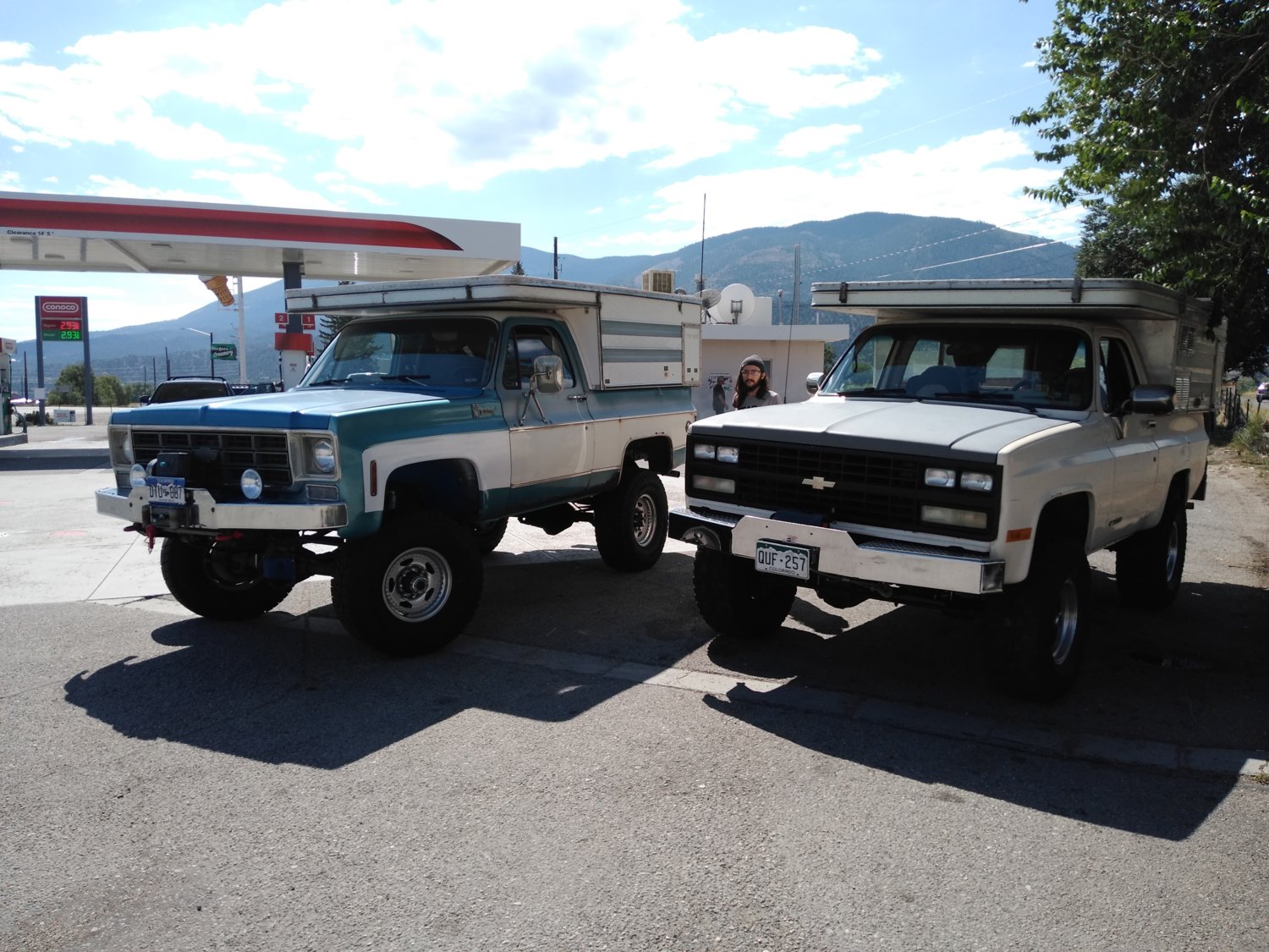
Ron got caught in some construction traffic on 285 and I left a little early which meant we had a little time to kill. So we stopped for some breakfast burritos at Sonic in Salida and found a spot at a gas station a stones throw away from the intersection of 285 and 50 in Pagosa. Can't miss one of these trucks coming at you.
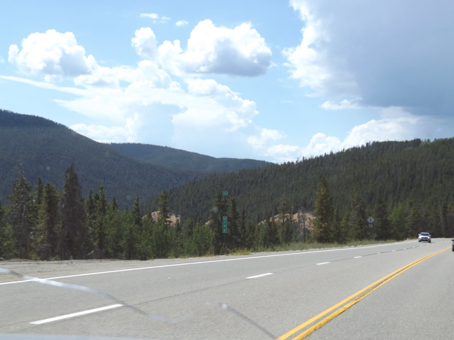
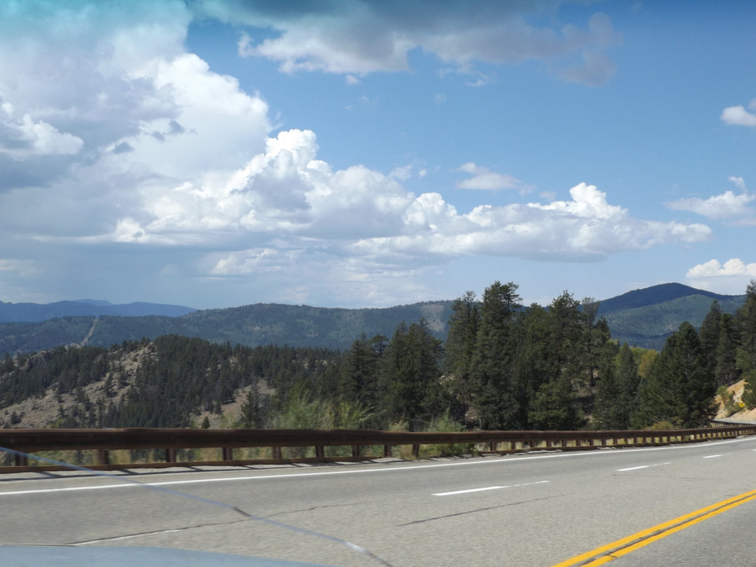
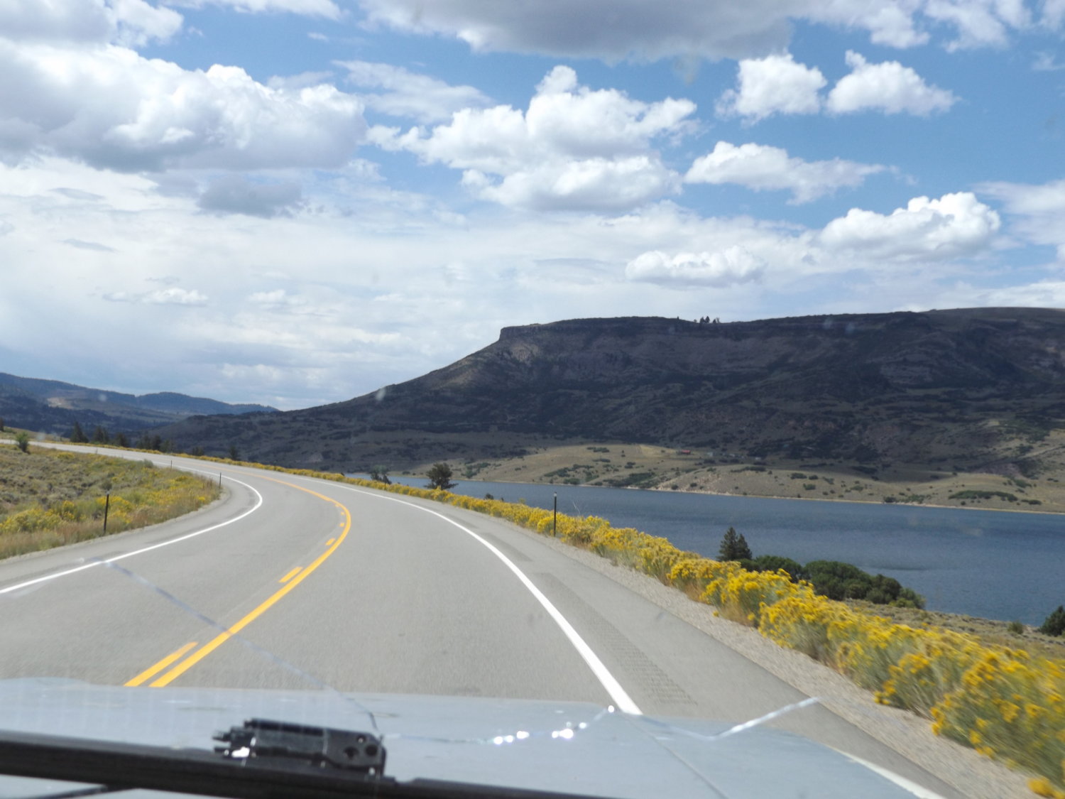
We boogied over Monarch pass to Gunnison and then on into Montrose. Monarch was fun to climb in 2nd (ugh) but pretty.
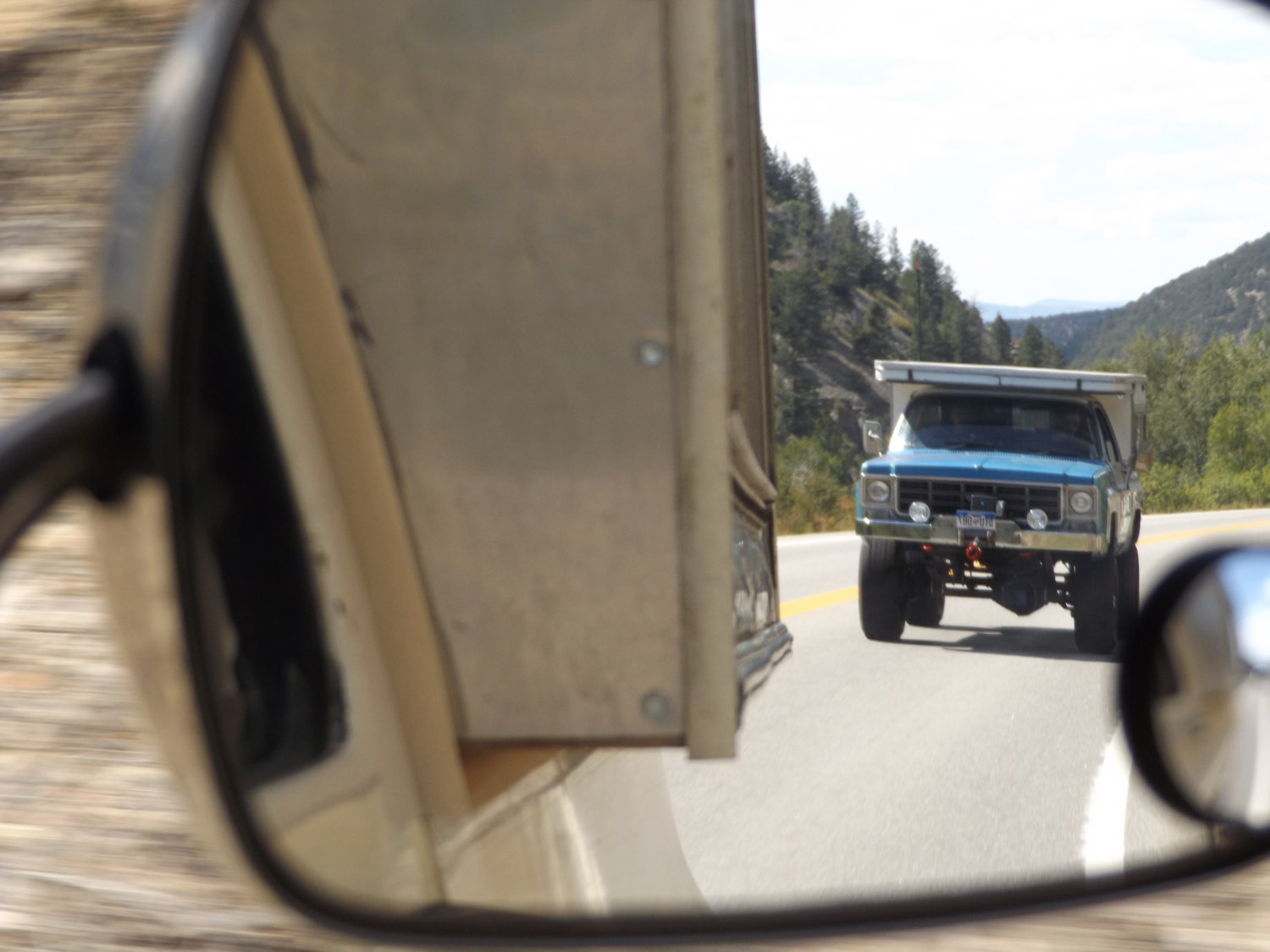
Who's on my ass? I swear now that Larry's got his vintage Warn bumper and KC's if I only glanced in the mirror I'd think it was him behind me and not Ron.
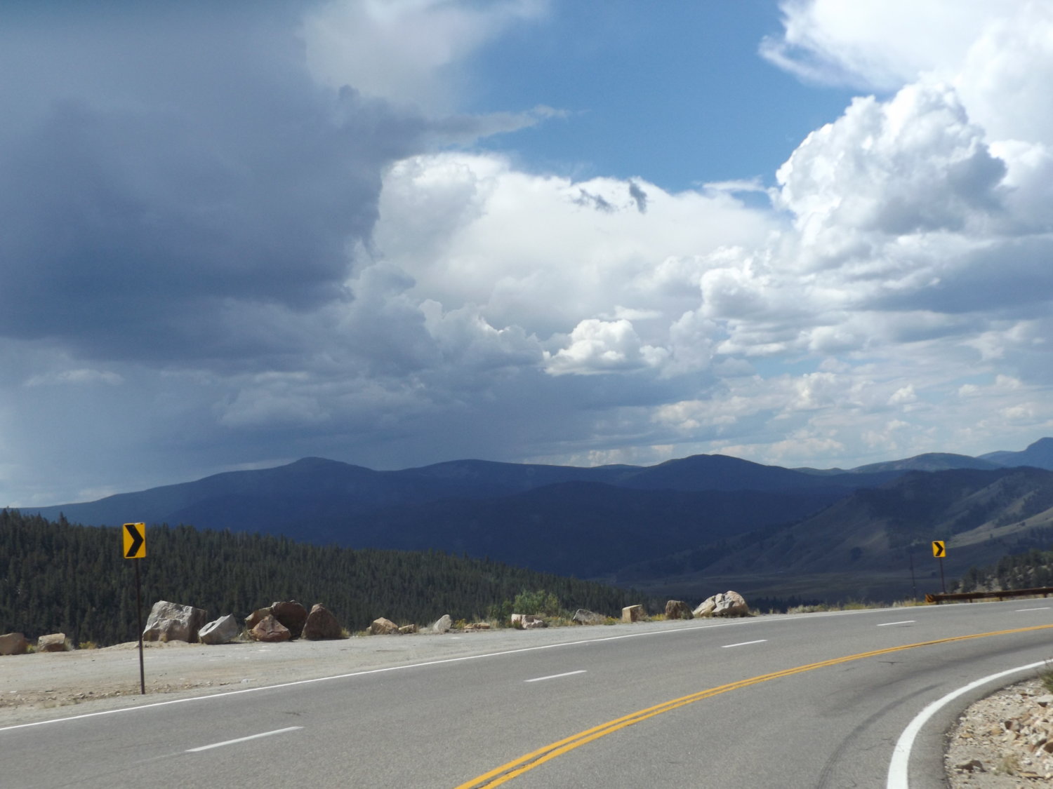
Monarch Pass:
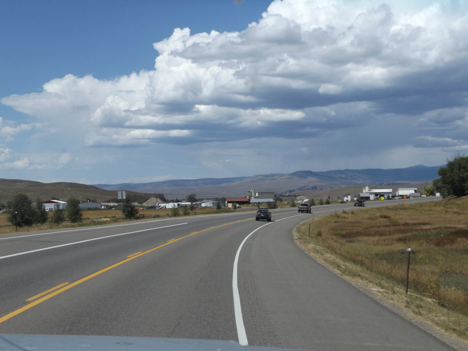
Rolling to Gunny.
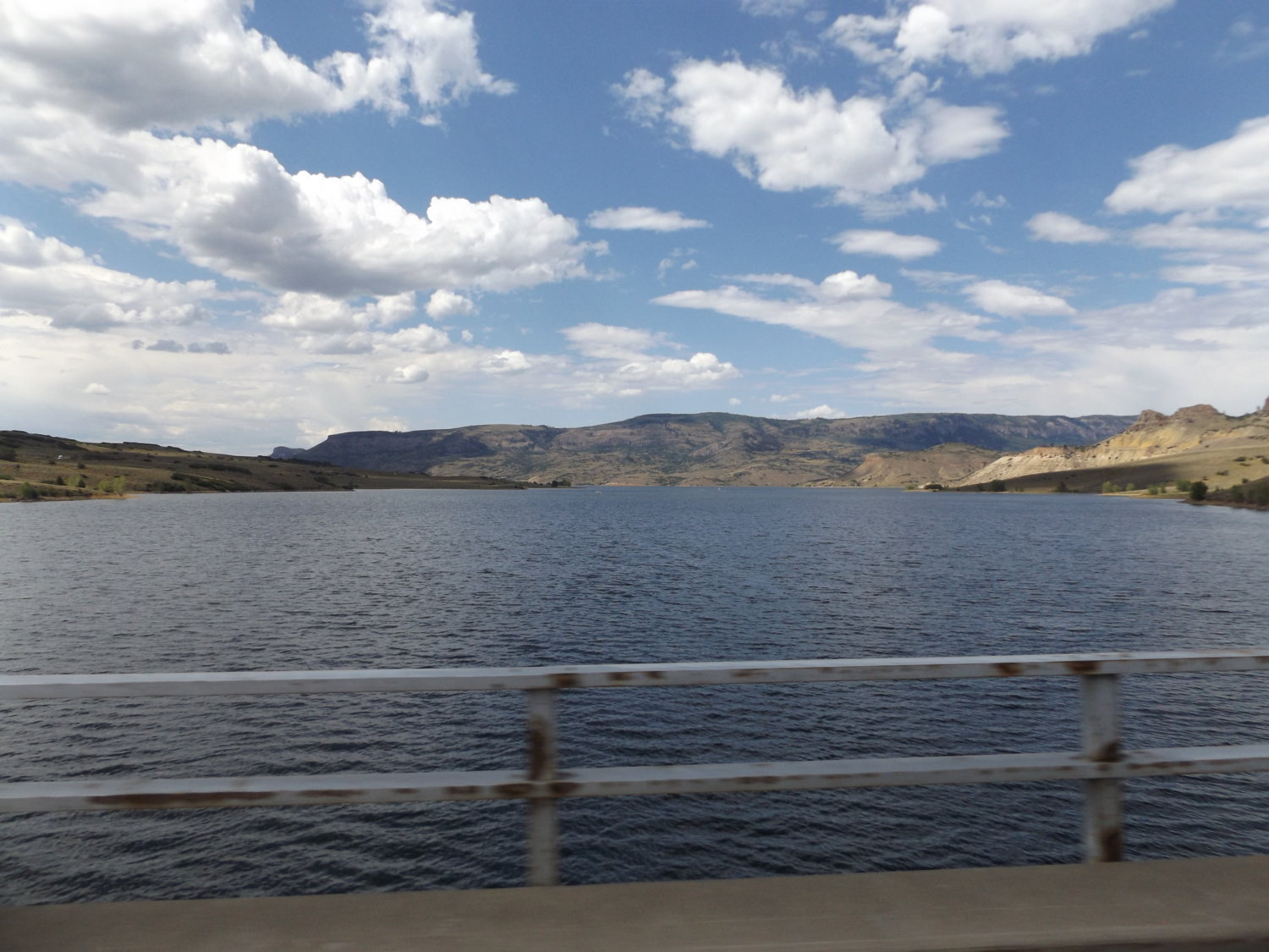
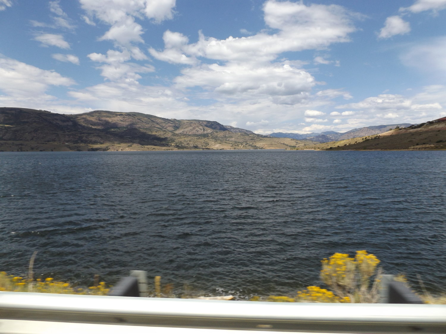
Blue Mesa is full from last winter and spring snow pack. You Southern Cal guys are welcome for your water!
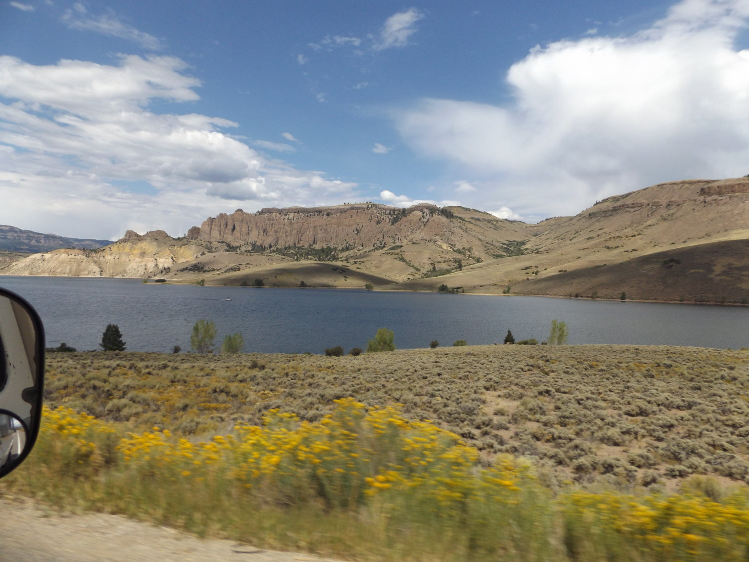
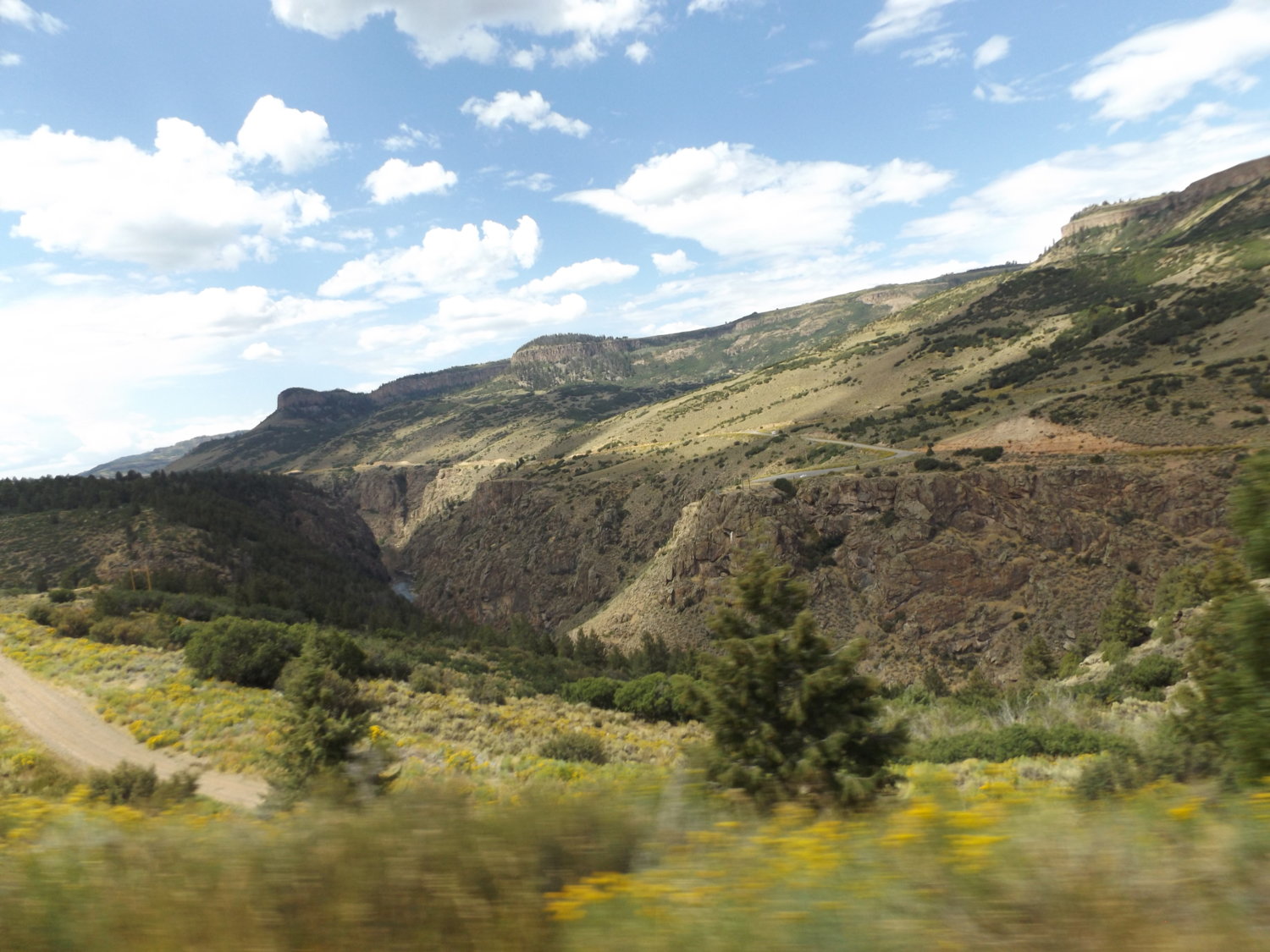
The beginning of the Black Canyon of the Gunnison river.
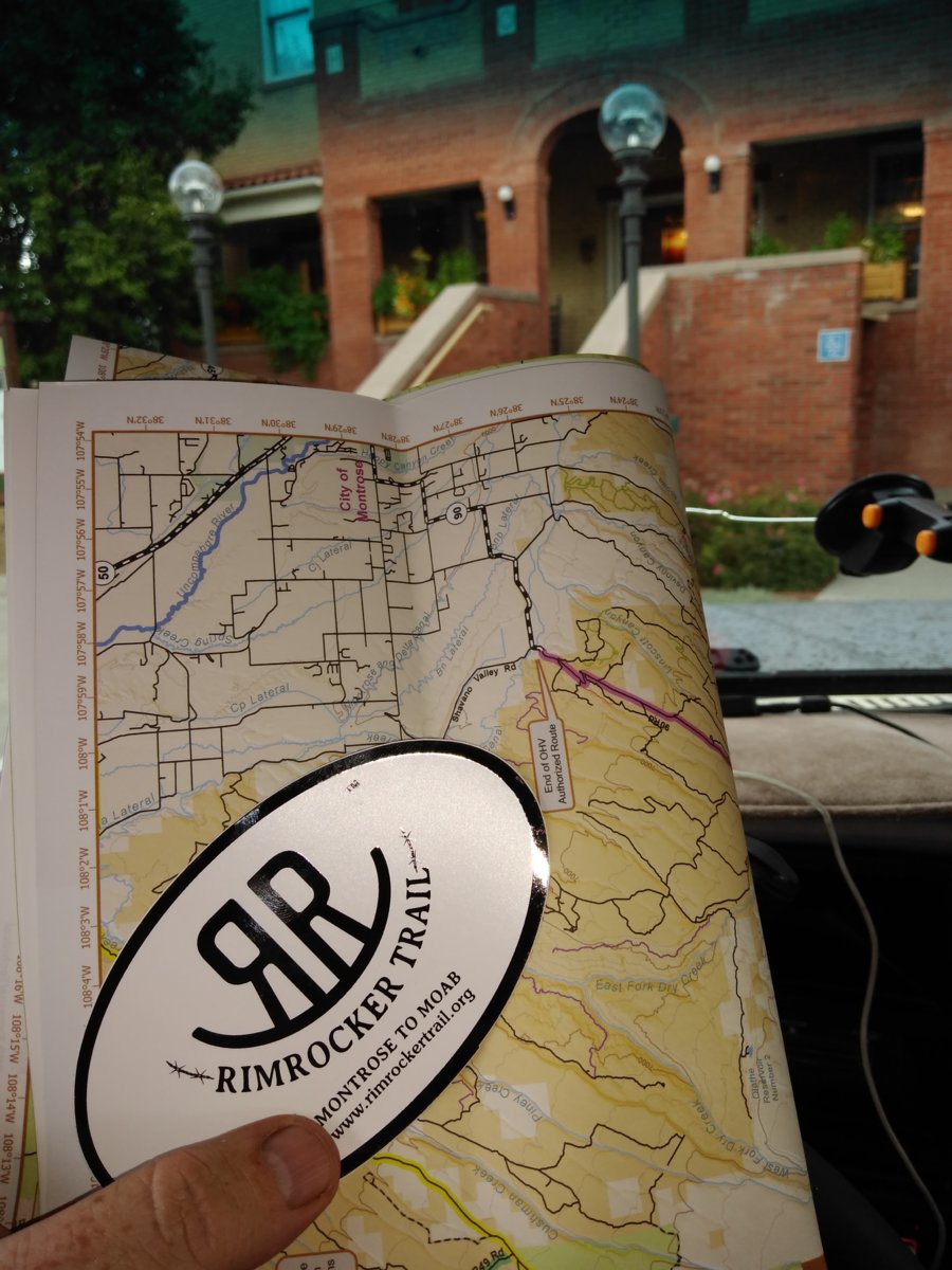
While in Montrose we stopped at the chamber of commerce office to pick up a free map and stickers for the Rimrocker Trail. Like I said over in the Blazer Bash thread, if you plan on taking this trail get the map. The Rimrocker is really a collection of existing county roads and forest service roads drawing a fairly direct line from Montrose to Moab. The issue is the trail markers on the ground are only lined up with the paper map. We found several inconsistencies with the GPX file I downloaded from the website to use with my Gaia map software with my iPad.
A quick note you may notice of our photos while on Rimrocker. It's not a hard trail at all. Remote yes, but not technical at all. There's a couple of good steep climbs, but even a bone stock K5 or any 4wd truck with decent clearance can do it. Neither Ron or I shifted out of 2hi on any section we went on. Could be a trail fit for a Subaru, but there would be some spots you'd drag the belly on where ours never came close. However, the lack in technical challenge is more than made up by the views. Wow, the views. The topography change is rapid which goes along with the change in environment. Pine forests to green valleys, then to red rock desert landscape and back into the trees. There's quite a bit of the trail on the edge of a bluff or mesa. So you still have to pay attention to driving or a wrong move could be one you won't have time to regret. Let the passenger take the pics if you got one.
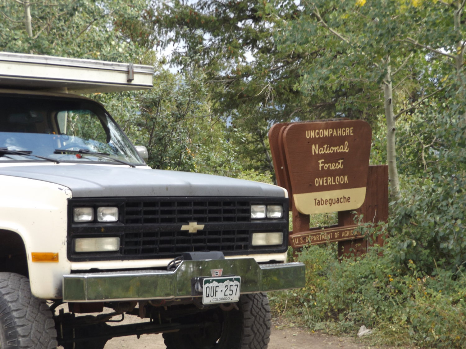
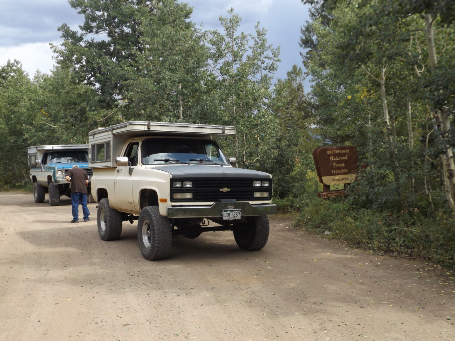
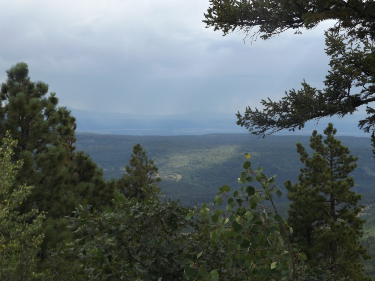
The first part of Rimrocker is county roads out of Montrose that starts climbing up into a pine forest. There were many a hunting camp set up for the coming season. Eventually we came across a sign for an overlook so we stopped to check it out.
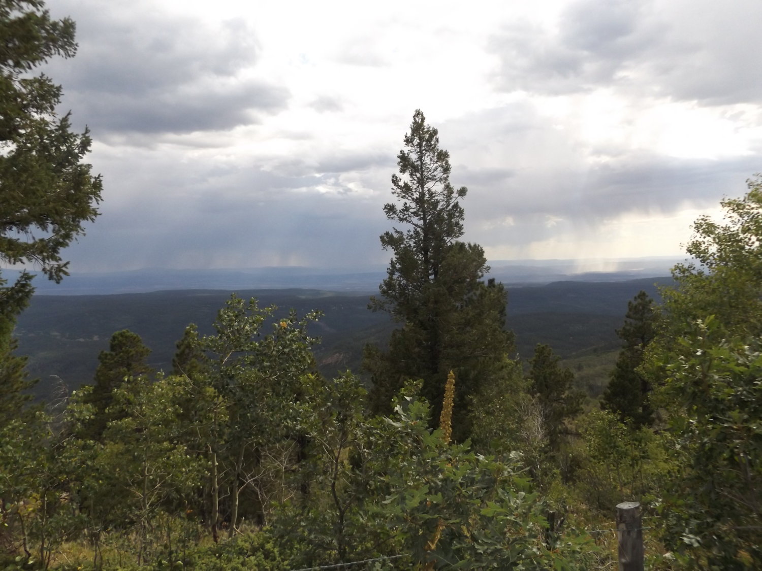
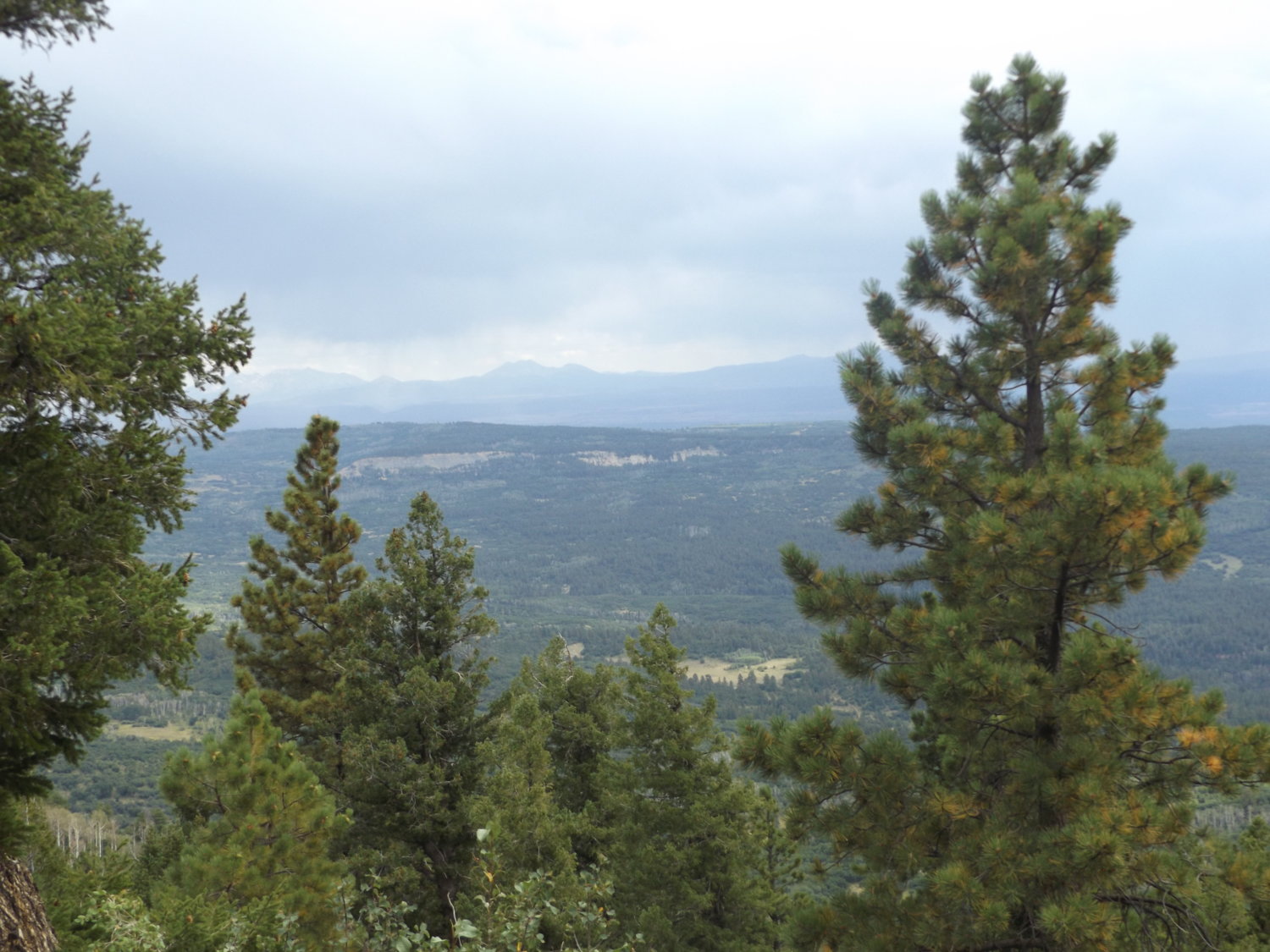
We could see weather ahead so we took a couple of more shots and hit the dirt again.
Continued....